Catalog Archive
Auction 162, Lot 656

"Carte Generale de l'Asie Divisee en Ses Principaux Etats", Robert de Vaugondy/Delamarche
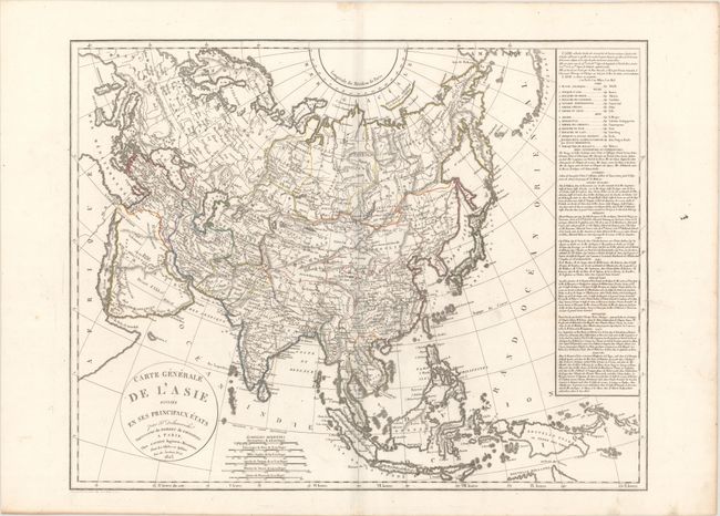
Subject: Asia

Period: 1825 (dated)

Publication:

Color: Hand Color

Size:
24.9 x 19.5 inches
63.2 x 49.5 cm
Download High Resolution Image
(or just click on image to launch the Zoom viewer)

A comprehensive view of Asia from Turkey and the Middle East to the Bering Strait and New Guinea in the east. Features a detailed depiction of Russia and the Russian and Chinese Tartaries, with their tribes marked. The map incorporates La Perouse's discoveries north of Japan and part of Northern Australia and the Torres Strait. The map is based on the work of the Robert de Vaugondy family, but was re-engraved by Delamarche to incorporate the latest information gathered by the explorations noted. A table with geographical and statistical information on the region in included at right.

References:

Condition: A

A dark impression on a clean sheet with a few minor spots.

Estimate: $180 - $220

Unsold

Closed on 4/26/2017

Archived