Catalog Archive
Auction 162, Lot 444
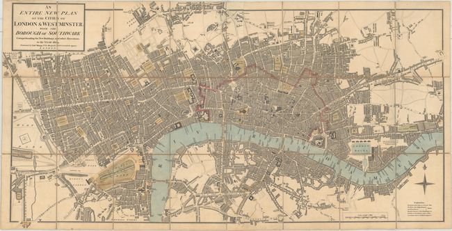
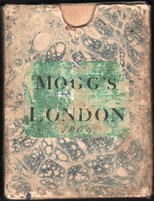
"An Entire New Plan of the Cities of London & Westminster; with the Borough of Southwark: Comprehending the New Buildings and Other Alterations to the Year 1804", Mogg, Edward
1 of 2
Subject: London, England
Period: 1804 (dated)
Publication:
Color: Hand Color
Size:
34.7 x 17.8 inches
88.1 x 45.2 cm
Download High Resolution Image
(or just click on image to launch the Zoom viewer)
(or just click on image to launch the Zoom viewer)