Catalog Archive
Auction 162, Lot 389

"Nouvelle Carte de Geographie de la Partie Meridionale de l'Amerique Suivant les Plus Nouvelles Observations...", Chatelain, Henry Abraham

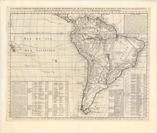
Subject: South America

Period: 1720 (circa)

Publication: Atlas Historique

Color: Black & White

Size:
23.1 x 17.9 inches
58.7 x 45.5 cm
Download High Resolution Image
(or just click on image to launch the Zoom viewer)

Superb, large map of South America filled with information concerning various discoveries, expeditions, and colonization. In the Pacific, the routes of Magellan, Schouten & Le Maire, Mendana & Gallego, Sarmiento and Drake are shown. Large keys provide information about the political divisions and the Capitanias of Brazil. Extensive notations exhibit the extent of exploration in the interior. The mythical Lac de Xarayes still appears in the center of the continent.

References:

Condition: A

A dark impression with two tiny repairs at fold intersections on verso. Issued folding and now flattened.

Estimate: $350 - $425

Sold for: $180

Closed on 4/26/2017

Archived