Catalog Archive
Auction 162, Lot 245

"[Lot of 2] A New Map of Florida [and] Colton's Florida",

Subject: Florida

Period: 1856-68 (dated)

Publication:

Color: Hand Color

Size:
See Description
Download High Resolution Image
(or just click on image to launch the Zoom viewer)
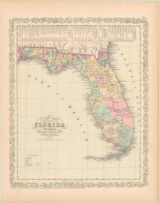
A. A New Map of Florida, by Charles Desilver, dated 1856 (11.9 x 14.5"). An early map of the state with only 33 counties organized. Settlement in the southern portion of the state now extends Fort Wescott and Fort Howell. A table at the top of the sheet shows the water routes from St. Augustine to various destinations around the state and southern Georgia. Surrounded by a decorative scroll border. Condition: There is one small spot in the image and pleasant light toning confined to the sheet edges. (A)

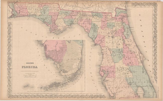
B. Colton's Florida, by G.W. and C.B. Colton, dated 1868 (25.6 x 17.2"). An attractive and detailed double-page map of the state. Development is still primarily in the northern half of the state where settlement and the transportation network continues to fill the interior of the map. The southern portion of the state is depicted in an inset on the same scale, with surveying work beginning to show along the coast of Dade and Monroe counties. Condition: Toning along sheet edges and inside the map border at top, which is also narrow. There is light text show-through and a separation at bottom that extends 2" into the image that has been closed on verso with archival tape. (B)

References:

Condition:

See description above.

Estimate: $170 - $200

Sold for: $100

Closed on 4/26/2017

Archived