Catalog Archive
Auction 162, Lot 199

"Amer. Sep. Embouchures du Mississipi. No. 61", Vandermaelen, Philippe Marie Guillaume

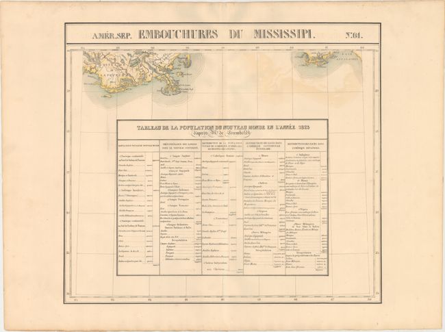
Subject: Southern United States

Period: 1825-27 (published)

Publication: Atlas Universel de Geographie...

Color: Hand Color

Size:
20.7 x 18.3 inches
52.6 x 46.5 cm
Download High Resolution Image
(or just click on image to launch the Zoom viewer)

Vandermaelen was the son of a wealthy industrialist who abandoned his father's business to follow a career in cartography. His goal was to produce the first atlas ever published in which every map was drawn on the same projection and to the same scale (1: 1,641,836), with each map covering an area of approximately 20 degrees of longitude (from Paris) and 6 degrees of latitude. Because of the consistent scale and projection, the maps could be joined together to form a huge globe that would measure over 25 feet in diameter. Vandermaelen had the only known globe constructed from his maps, requiring a special room for its display. It was also the first lithographic atlas ever published. There was one edition of the atlas, published in 1825-27, and the subscription list shows that only 810 copies were sold. Koeman called his Atlas Universel, "One of the most remarkable world atlases ever made. Far ahead of its time."

This chart details the delta of the Mississippi River south from New Orleans, and part of the Gulf coast at Apalachicolao and the region just west of Mobile, including the Pascagoula area, Dog Island, Deer Island, St George, St. Joseph, St. Blas, etc., Port St. Joe, and Apalachee Bay. Below the coastline is a large table "Tableau de la Population du Nouveau Monde en l'Annee 1823" which gives the population throughout the Western Hemisphere by race and religion.

The Atlas Universel contained 400 maps in six volumes. It was the first atlas made up of lithographed maps, and the first to present all the maps on the same scale (1: 1,641,836), with each map covering an area of approximately 8 degrees longitude (from Paris) and 6 degrees of latitude. If all the maps were joined together they would form a globe of 7.75 meters in diameter. The maps were published by subscription between 1825 and 1827, with each part containing ten maps. There was only one edition and the subscription list shows that 810 copies were sold; thus the maps are quite rare.

References:

Condition: B+

Original color on a strong sheet with light color offsetting at top.

Estimate: $120 - $150

Sold for: $60

Closed on 4/26/2017

Archived