Catalog Archive
Auction 162, Lot 187

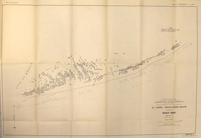
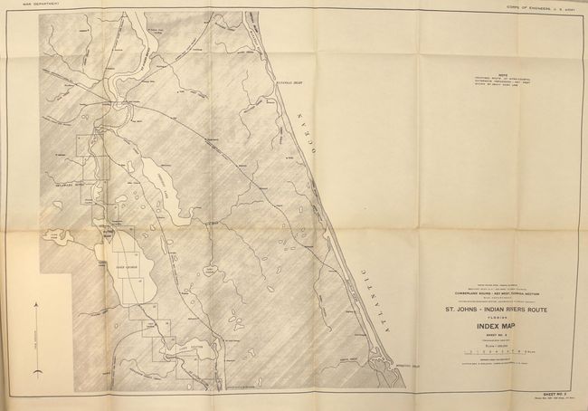
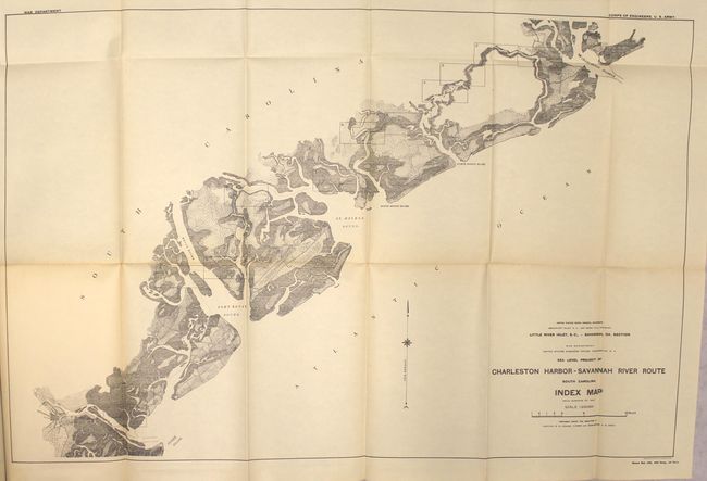
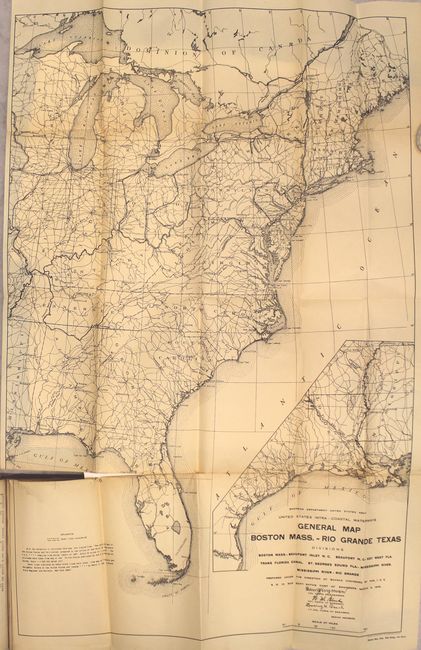
"[14 Folding Maps Bound in Report] Intracoastal Waterway Beaufort, N.C., to Key West, Fla., Section - Letter from the Acting Secretary of War...", U.S. Gov't Printing Office

Subject: Southeast United States

Period: 1913 (published)

Publication: H.R. Doc. 229, 63rd Congress, 1st Session

Color: Black & White

Size:
5.9 x 9.3 inches
15 x 23.6 cm
Download High Resolution Image
(or just click on image to launch the Zoom viewer)

This report was part of the study funded to provide surveys necessary to evaluate the construction of an intracoastal waterway from Boston, Massachusetts all the way to Brownsville, Texas. This specific report covers the section from Beaufort, North Carolina to Key West, Florida and contains 14 folding maps. The maps consist of a general map of the eastern United States (20 x 30.3") that show existing and potential canal lines, and 13 detailed regional maps that cover the coastline from the North Carolina/South Carolina border to the Florida Keys (regional map sizes are approximately 26 x 18"). 74 pages, hardbound in tan cloth.

References:

Condition: B

The maps are overall good to very good with uniform light toning, occasional separations at fold intersections, and a few short binding tears. The index map of the eastern United States has more pronounced separations and a 2" binding tear at left. Text is lightly toned and the extremities show moderate wear.

Estimate: $100 - $130

Sold for: $75

Closed on 4/26/2017

Archived