Catalog Archive
Auction 162, Lot 150

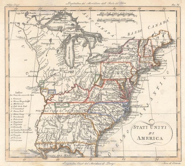
"Stati Uniti di America", Rossi, Luigi
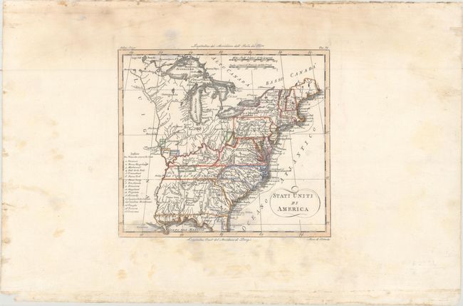
Subject: Eastern United States

Period: 1820 (circa)

Publication: Nuovo Atlante de Geografia Universale...

Color: Hand Color

Size:
7.9 x 7 inches
20.1 x 17.8 cm
Download High Resolution Image
(or just click on image to launch the Zoom viewer)

This Italian map presents rather outdated information with the United States boundary extending to the Mississippi River with a large Luigiana to its west. Georgia extends all the way to the Mississippi River and Florida is divided between East & West. Tennessee is identified as Governo di Tenessea, and several land grants are identified along the frontier including Army Lands, Wabash Company, New Jersey Company, and Illinois Company. The territory above the Ohio River is unnamed with the Illinois and Outagamie tribes located.

References:

Condition: B+

Light soiling and staining mostly in the blank margins.

Estimate: $200 - $230

Sold for: $120

Closed on 4/26/2017

Archived