Catalog Archive
Auction 161, Lot 795

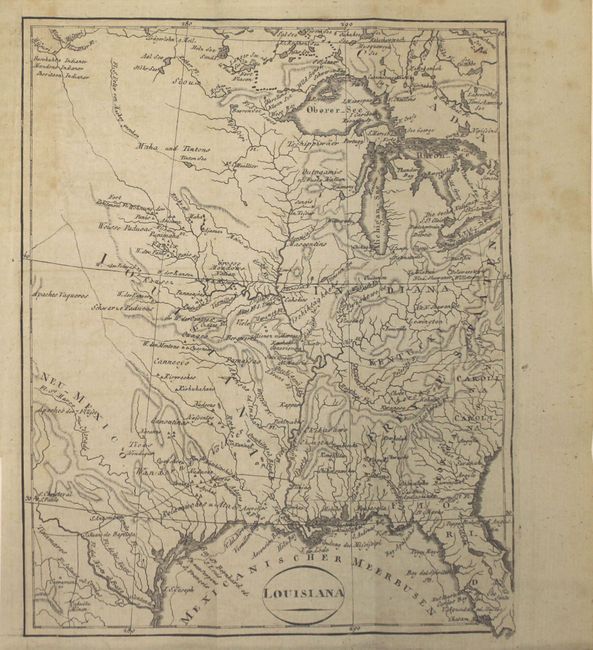
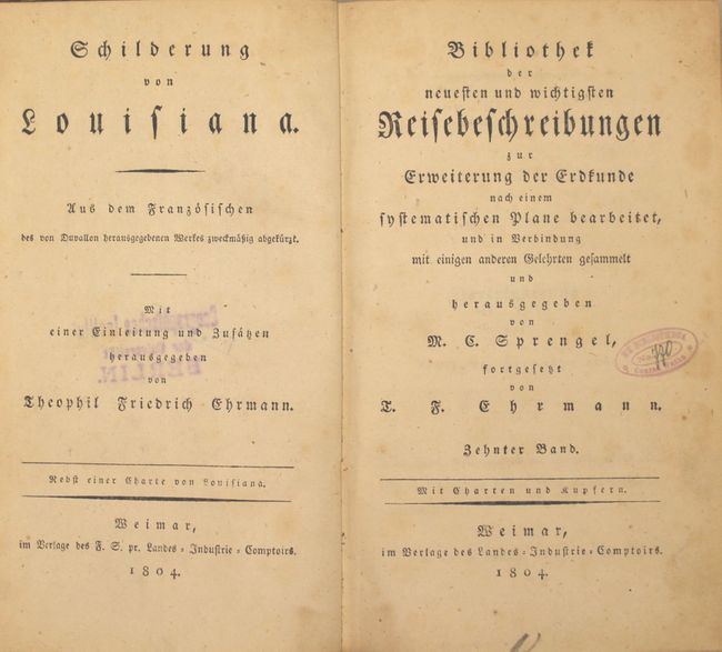
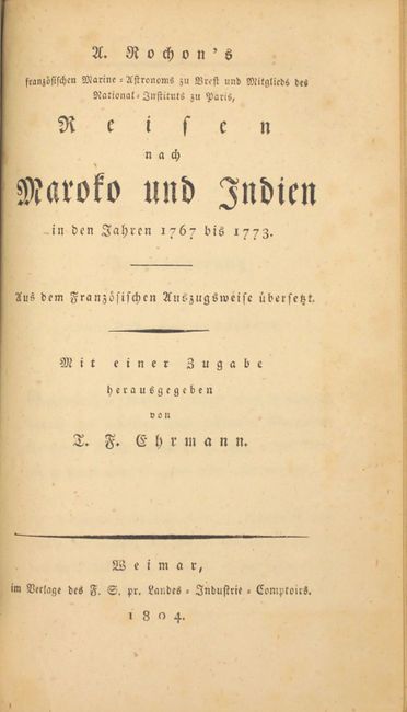
"Schilderung von Louisiana... [and] U. Rochon's Franzosischen Marine-Ustronoms zu Brest und Mitglieds des National-Instituts zu Paris, Reisen nach Marofo und Indien...", Ehrmann, Theodor Friedrich

Subject: Exploration & Surveys

Period: 1804 (published)

Publication:

Color: Black & White

Size:
5 x 8 inches
12.7 x 20.3 cm
Download High Resolution Image
(or just click on image to launch the Zoom viewer)

This is the only German edition of Pierre Louis Berquin-Duvallon's Vue de la Colonie Espagnole du Mississipi: ou des Procinves de Louisiane et Floride Occidentale, en l'Anee 1802. Berquin-Duvallon was a Frenchman born in Santo Domingo (present-day Haiti), who fled to New Orleans at the time of the slave uprising in Santo Domingo in 1793. His views on New Orleans and Louisiana were often not flattering; however his work presents detailed descriptions of the government, justice, sugar processing, commerce, climate, and native Americans in the area. This German translation, by Theodor Friedrich Ehrmann, was published one year after the Louisiana Purchase and includes one map of the Mississippi River valley from the Great Lakes to New Orleans, extending west to Texas and east to Florida. The geography focuses on the river systems, mountains, and locations of Native Indian tribes, although several roads extending north, east and west from Cenis are also shown. The United States are labeled Freye Staaten with the frontier showing a huge Indiana, an incompletely formed Kentucki, and Georgia taking in all the region to the Mississippi, including the area of Tennessee.

The book is bound with a translation of a portion of the French edition of Father Alexis-Marie de Rochon's Voyages a Madagascar, a Maroc et aux Indes Orientales. As evidenced by the German title, this translation only includes the portions on Morocco and the East Indies. Rochon was a famous French astronomer and navigator whose fame included his Voyages.

8vo, pp. xxviii, 344, viii, 168. Hardbound in original quarter brown leather with tips over marbled paper boards, with gilt bands and black leather title label on spine.

References: Howes #B389; Sabin #4964.

Condition: B+

The map has light toning at top left, minor offsetting, and a few spots of foxing at top right. Text has light scattered foxing. A previous owner's stamp appears on title page and a library stamp and withdrawn stamp appears on verso. Covers are well worn, and spine is beginning to separate at top and bottom.

Estimate: $600 - $750

Unsold

Closed on 2/8/2017

Archived