Catalog Archive
Auction 161, Lot 784

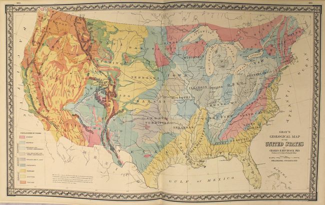
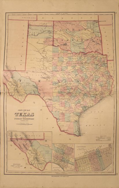
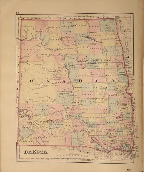
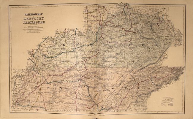
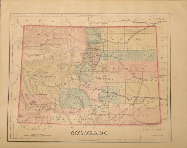
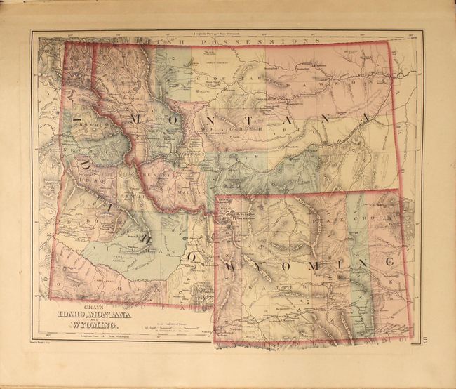
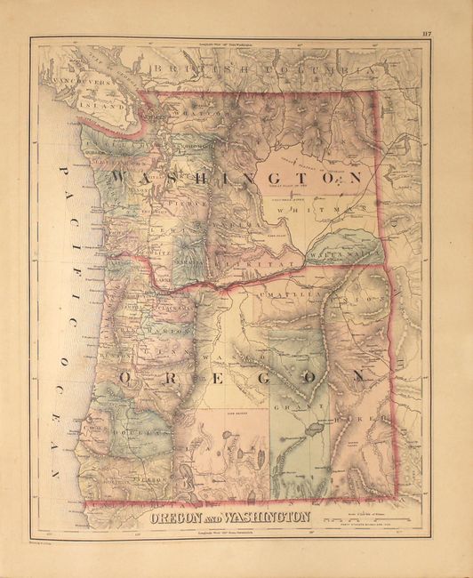
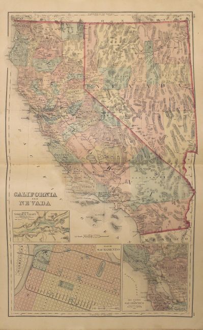
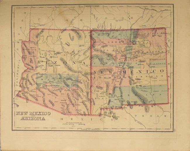
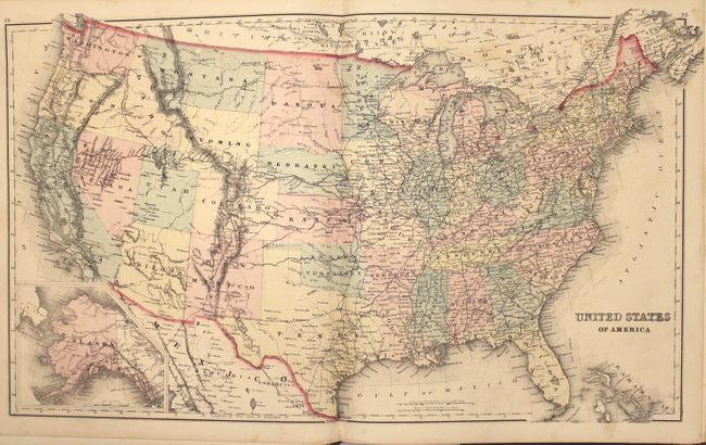
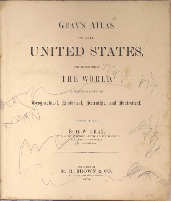
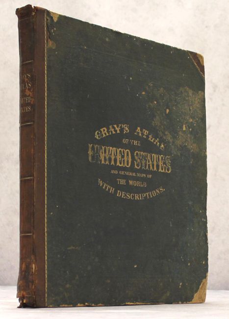
"Gray's Atlas of the United States, with General Maps of the World. Accompanied by Descriptions Geographical, Historical, Scientific, and Statistical", Gray, Ormando Willis & Son

Subject: Atlases

Period: 1876 (published)

Publication:

Color: Hand Color

Size:
15 x 17.8 inches
38.1 x 45.2 cm
Download High Resolution Image
(or just click on image to launch the Zoom viewer)

This complete atlas contains 50 single-page and 22 double-page maps including Gray's Geological Map of the United States by Charles Hitchcock, an uncolored climatological map by Blodget, and a chart of the United States. Contains all states and city plans of Baltimore, Chicago, New York and Washington D.C. This edition includes a Railroad Map of Kentucky and Tennessee and a business directory for the broader region at the end of atlas. Features many other attractive double-page maps including Texas and California. Hardbound in quarter calf with tips over blue cloth boards, title page, contents, descriptions, maps and index.

References:

Condition: B

The maps are in overall good to very good condition with general light toning and occasional minor soiling. Several of the maps have additional condition issues including: a 5" tear in the map of North America, a 2" fold separation at the bottom of the Texas map, a 8" fold separation at the bottom of the Kentucky/Tennessee map, and heavy worming along the bottom gutter of maps of Michigan (2) and Missouri. There are numerous pencil notations on the title page and the last 2 sheets of the business directory at the end of the volume are heavily wormed. Covers are worn and stained and the spine is chipped at top and bottom.

Estimate: $700 - $850

Sold for: $550

Closed on 2/8/2017

Archived