Catalog Archive
Auction 161, Lot 559

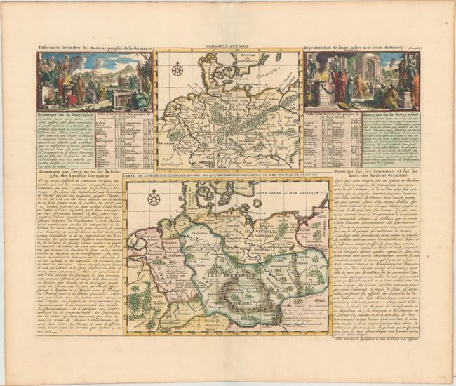
"Carte de l'Ancienne Germanie Divisee en Quatre Differentes Nations et les Peuples de Chacune [on sheet with] Germania Antiqua", Chatelain, Henry Abraham

Subject: Central Europe, Germany

Period: 1708 (circa)

Publication: Atlas Historique...

Color: Hand Color

Size:
17.6 x 13.2 inches
44.7 x 33.5 cm
Download High Resolution Image
(or just click on image to launch the Zoom viewer)

Two maps on a folio sheet of French text flanked by two fine engraved views representing religious rites of the ancient German peoples. The maps are fully engraved with mountains, forests and ancient place names and both are decorated with a compass rose. The upper ancient map includes part of Scandinavia. The larger map locates the various states of the area. It extends from Holland to Poland and part of Lithuania and south to the course of the Danube River. Locates many ancient cities and countries.

References:

Condition: A

A sharp impression with minor toning along the edges of the sheet.

Estimate: $140 - $170

Sold for: $80

Closed on 2/8/2017

Archived