Catalog Archive
Auction 161, Lot 558

"Cellarij Germania Antiqua", Cluver, Philipp

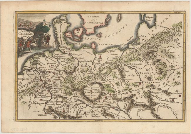
Subject: Central Europe, Germany

Period: 1697 (circa)

Publication: Introductio in Universam Geographicam

Color: Hand Color

Size:
12 x 7.8 inches
30.5 x 19.8 cm
Download High Resolution Image
(or just click on image to launch the Zoom viewer)

This map of the ancient German Empire extends from present-day France to eastern Europe, and south to the Danube River. The map is filled with ancient place names and includes a decorative title cartouche featuring men at battle.

References: Shirley (BL Atlases) T.CLUV-9a [10].

Condition: A

Issued folding on paper with a "WK" watermark and light toning along the edges of the sheet.

Estimate: $110 - $140

Sold for: $65

Closed on 2/8/2017

Archived