Catalog Archive
Auction 161, Lot 494

"Britannicae, Insulae in Quibus Albion seu Britannia Major, et Ivernia seu Britannia Minor Juxta Ptolemaei Mentem Divisae...", Robert de Vaugondy, Didier
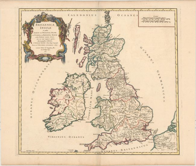
Subject: Britain

Period: 1750 (dated)

Publication: Atlas Universel...

Color: Hand Color

Size:
20.9 x 19.1 inches
53.1 x 48.5 cm
Download High Resolution Image
(or just click on image to launch the Zoom viewer)

This is the second state of Robert de Vaugondy's attractive historical map of Britain, depicting the Scilly Isles but prior to the labeling of the Shannon River or the Severn estuary. It is based on the cartography of Nicolas Sanson showing the Ptolemaic divisions and Roman names throughout. Embellished with a fine French-style title cartouche featuring symbols for Mercury and the maritime industry.

References: Pedley #46.

Condition: A

A dark impression on paper with a "B Richard" watermark, faint toning along the centerfold, and an archivally repaired centerfold separation that enters 1" into map at top.

Estimate: $275 - $350

Unsold

Closed on 2/8/2017

Archived