Catalog Archive
Auction 161, Lot 376

"Puget Sound Washington Territory", U.S. Coast Survey

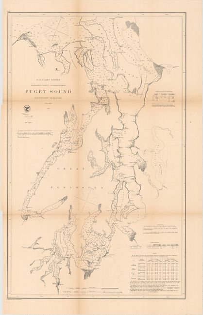
Subject: Puget Sound, Washington

Period: 1867 (dated)

Publication:

Color: Black & White

Size:
17.6 x 28.3 inches
44.7 x 71.9 cm
Download High Resolution Image
(or just click on image to launch the Zoom viewer)

The Office of Coast Survey is the oldest U.S. scientific organization, dating from 1807 when Congress directed that a "survey of the coast" be carried out. By 1836, it was called the U.S. Coast Survey and in 1878, the name was changed to the U.S. Coast and Geodetic Survey. Today the Office of Coast Survey is a division of the National Oceanic and Atmospheric Administration NOAA.

The survey teams, composed of civilians as well as Army and Naval officers, charted the nation's waterways and produced a wide array of reports, survey charts, hydrographic studies of tides and currents, astronomical studies and observations, and coastal pilots. These charts are an important record of the changing nature of the nation's coastlines. In additional to coastal charts, the U.S. Coast and Geodetic Survey produced land sketches, Civil War battle maps, and the early aeronautical charts.

This uncommon chart shows the Puget Sound and spans from Olympia north to Utsalady on Camano Island. The sound is filled with islands, soundings, bottom types, ports, anchorages, inlets, and more. Seattle is named even though it was briefly disincorporated in 1867, the year the map is dated. The chart precedes the establishment of Tacoma. Numerous navigational notes appear, including tables on lighthouses and tides. Compiled and drawn by A. Lindenkohl.

References:

Condition: B

Issued folding with light toning along the folds, faint offsetting, and a few short splits at fold intersections.

Estimate: $180 - $220

Sold for: $140

Closed on 2/8/2017

Archived