Catalog Archive
Auction 161, Lot 350

"Oregon", General Land Office
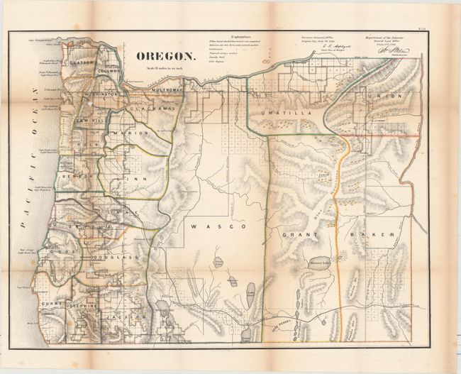
Subject: Oregon

Period: 1866 (dated)

Publication:

Color: Hand Color

Size:
22.1 x 16.8 inches
56.1 x 42.7 cm
Download High Resolution Image
(or just click on image to launch the Zoom viewer)

From the first year that large colored state maps were issued by the GLO. Development is confined to the coast, with proposed surveys now appearing in central and eastern Oregon. Gold deposits are prominently shown on the map and are plentiful in the east. The map's only road is labeled Oregon Central Military Road and extends from Idaho to Eugene City. Drawn on a scale of 18 miles to an inch.

References: Wheat (TMW) #1154; Phillips (A) #1388-21.

Condition: B

Issued folding with numerous separations that have been closed on verso with archival tape and some minor loss at two fold intersections. Light toning along the folds.

Estimate: $250 - $325

Sold for: $180

Closed on 2/8/2017

Archived