Catalog Archive
Auction 161, Lot 310

"Louisiana", Carey, Mathew
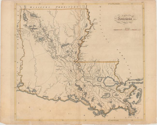
Subject: Louisiana

Period: 1814 (circa)

Publication: Carey's General Atlas, Improved and Enlarged...

Color: Hand Color

Size:
17.1 x 15.5 inches
43.4 x 39.4 cm
Download High Resolution Image
(or just click on image to launch the Zoom viewer)

Mathew Carey was a seminal figure in early American publishing; establishing the first publishing firm to specialize in cartography and issuing the first atlas devoted exclusively to American maps. He set up an elaborate cottage system of craftsmen for compiling, engraving, printing, and coloring maps. This practice was emulated by later American cartographic publishers such as John Melish and Henry S. Tanner. The American Atlas concept was also adopted by other publishers in both the United States and Europe.

This is one of the earliest large format maps of the state to appear in a commercial atlas. The information was based on Barthelemy Lafon's monumental Carte Generale du Territoire d'Orleans..., published in 1806. Very little development is depicted with the exception of along the Mississippi River, with nice detail of the existing roads, towns, rivers, and lakes. A reduced version of this map from Carey's American Pocket Atlas [1813] was the first printed map of Louisiana as a state. This enlarged edition appeared in his General Atlas the following year. It was most likely compiled by Samuel Lewis, Carey's principal mapmaker, although there is no engraver's imprint.

References: Lemmon, Magill & Wiese #74.

Condition: B+

Light toning and minor soiling with archival repairs to a short centerfold separation at top and several minor chips and tears along the edges of the sheet.

Estimate: $550 - $700

Sold for: $325

Closed on 2/8/2017

Archived