Catalog Archive
Auction 160, Lot 88

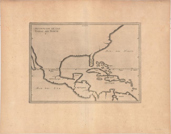
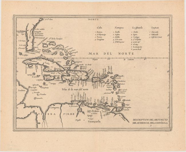
Uncommon Pair of Herrera Maps of the New World

"[Lot of 2] Descripcion de las Yndias del Norte 2 [and] Description del Destricto del Audiencia dela Espanola 3", Herrera y Tordesillas, Antonio de

Subject: Colonial North America

Period: 1622 (published)

Publication: Novus Orbis, sive Descriptio Indiae Occidentalis

Color: Black & White

Size:
11.6 x 8.4 inches
29.5 x 21.3 cm
Download High Resolution Image
(or just click on image to launch the Zoom viewer)

This pair of maps is from an uncommon Dutch version of de Herrera's 1601 maps published by Michiel Colijn. Their cartography is based on the manuscript charts of Juan Lopez de Velasco (c. 1575-80). The striking lack of internal detail reflects the official Spanish policy protecting geographical knowledge of their presence in the New World.

In the first map, the only name appearing in North America is La Florida. The Audiencias (the Spanish colonial political divisions) are the only other place names on the map. The second map has much more detail and is an excellent view of the Spanish presence in Florida, the West Indies and northern South America. The distinctive narrow Florida peninsula includes a fairly accurate delineation of the R. de S. Matheo (St. Johns River) with a large lake at its headwaters. There are several place names, including Santagustin (St. Augustine) and Pta del Canaveral.

References: Burden #197 & #198.

Condition: B+

Pleasant light toning and a few minor spots of foxing.

Estimate: $1,600 - $2,000

Sold for: $1,200

Closed on 11/16/2016

Archived