Catalog Archive
Auction 160, Lot 802

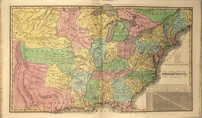
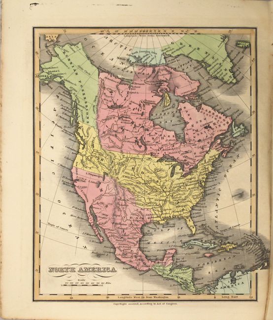
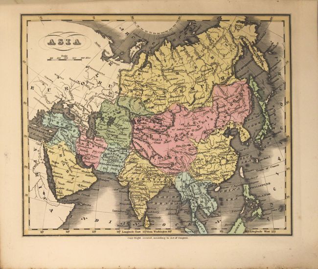
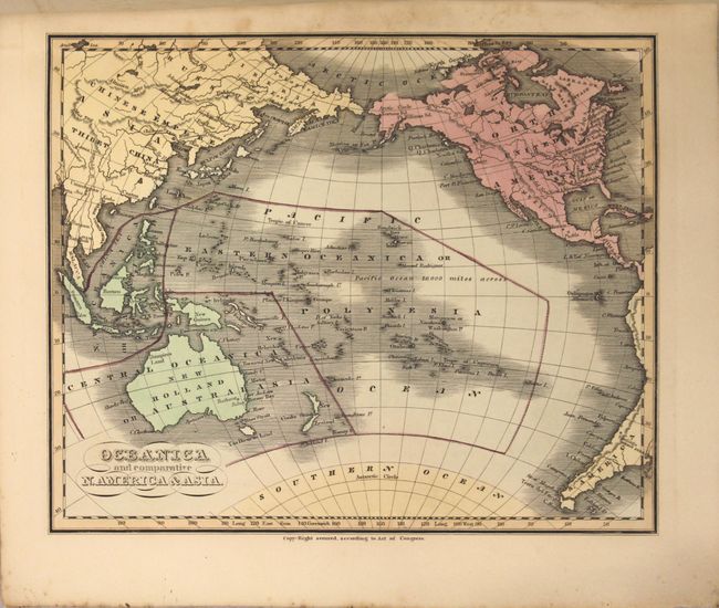
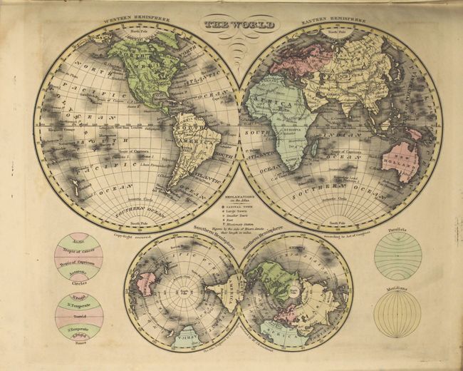
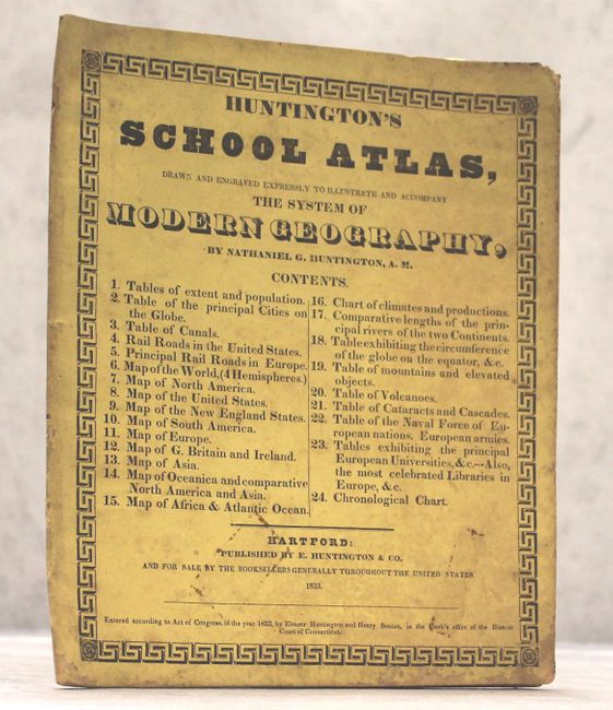
School Atlas Maps in Excellent Condition

"Huntington's School Atlas, Drawn and Engraved Expressly to Illuminate and Accompany the System of Modern Geography", Huntington, Eleazor

Subject: Atlases

Period: 1833 (published)

Publication:

Color: Hand Color

Size:
9.9 x 11.7 inches
25.1 x 29.7 cm
Download High Resolution Image
(or just click on image to launch the Zoom viewer)

This lovely and uncommon atlas contains 1 double-page map of the United States and 10 single-page maps. The map of the United States stretches to the Rocky Mountains and shows Texas as a part of Mexico. A large Missouri Territory covers the middle of the country and is filled with Indian districts including the Sioux, Mandan, Osage and Ozark tribes. Wisconsin is shown as "attached to Michigan." The map of North America shows Mexico in control of the Southwest and the U.S. border with Canada extends well into British Columbia, reflecting U.S. interests in the region. The atlas also includes two world maps, South America, Europe, Asia, Africa and Oceania.

References: Phillips (A) #295.

Condition: A

The maps are incredibly clean and bright for an early school atlas with occasional faint offsetting. The stiff paper wrappers and tables at beginning and end are damp stained and foxed, but does not impact maps.

Estimate: $400 - $500

Sold for: $375

Closed on 11/16/2016

Archived