Catalog Archive
Auction 160, Lot 733

"Nouvelle Carte de l'Ile de Ceylon, avec des Remarques Historiques", Chatelain, Henry Abraham
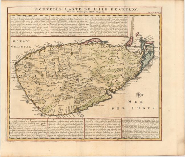
Subject: Sri Lanka

Period: 1720 (circa)

Publication: Atlas Historique

Color: Hand Color

Size:
17.4 x 15.1 inches
44.2 x 38.4 cm
Download High Resolution Image
(or just click on image to launch the Zoom viewer)

This is a handsome and very detailed map of the island of Sri Lanka, with north oriented to the right. The mountainous topography is graphically presented, along with roads, locations of Dutch forts, gem and salt mines. Several elephants are also depicted. Panels of French text provide a detailed history.

References:

Condition: B+

Issued folding with light toning between the two folds, otherwise a crisp and clean example.

Estimate: $240 - $300

Sold for: $120

Closed on 11/16/2016

Archived