Catalog Archive
Auction 160, Lot 693

"Carte Generale de l'Empire Chinois, avec les Divisions Etablies par la Dynastie Regnante", Vivien de Saint Martin, Louis

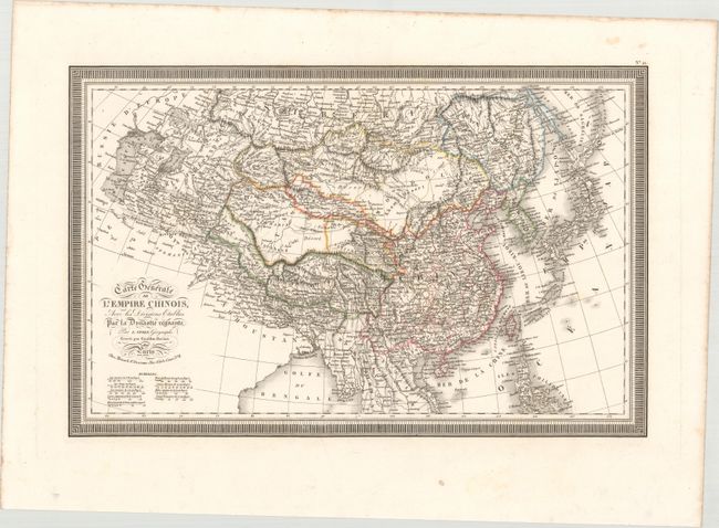
Subject: Eastern & Central Asia

Period: 1826 (dated)

Publication: Atlas Universel

Color: Hand Color

Size:
18.2 x 11.8 inches
46.2 x 30 cm
Download High Resolution Image
(or just click on image to launch the Zoom viewer)

This elegantly engraved French map depicts the size and breadth of China. It extends as far west as the Caspian Sea and includes Tibet, Mongolia, Taiwan, Korea, and Japan, as well as parts of the Philippines and the Indochinese Peninsula. Political divisions, towns and cities, deserts, rivers, and more are identified, and there is fine topographical detail throughout. The Great Wall of China is located. A bold keyboard-style border encloses the map. Finely engraved by Giraldon-Bovinet and published by Menard and Desenne.

References:

Condition: A

A sharp impression with original outline color on a clean, bright sheet with a couple negligible spots.

Estimate: $120 - $150

Unsold

Closed on 11/16/2016

Archived