Catalog Archive
Auction 160, Lot 691

"Carte Nouvelle de la Grande Tartarie ou de l'Empire du Grand Cham, Dressee sur les Memoires Originaux & sur d'Autres Observations Tres Exactes de Divers Voyageurs", Chatelain, Henry Abraham

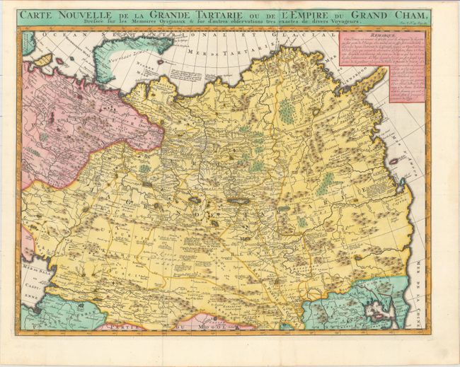
Subject: Russia in Asia

Period: 1719 (circa)

Publication: Atlas Historique

Color: Hand Color

Size:
20.1 x 15.9 inches
51.1 x 40.4 cm
Download High Resolution Image
(or just click on image to launch the Zoom viewer)

A strongly engraved map of Russia, from the Caspian Sea to Korea, filled with minute detail and beautifully engraved to show the topography. Novaya Zemlya is only partially delineated, and the Kamchatka peninsula extends eastward and is labeled Scopuli. Numerous notes are scattered throughout the map, and an inset with explanatory French text describes the region as sparsely populated with white bears, wolves, and "the best rhubarb in the world."

References:

Condition: A

A crisp impression, issued folding on a clean, bright sheet of paper with a Strasbourg bend and lily watermark. Minor toning along the edges of the sheet.

Estimate: $240 - $300

Unsold

Closed on 11/16/2016

Archived