Catalog Archive
Auction 160, Lot 505
"Le Danemark Divise par Provinces, et Dioceses sous une Metropole", Brion de la Tour, Louis
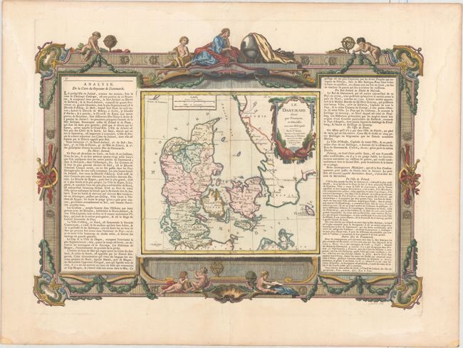
Subject: Denmark
Period: 1766 (dated)
Publication: Atlas General Methodique et Elementaire
Color: Hand Color
Size:
22.1 x 15.9 inches
56.1 x 40.4 cm
Download High Resolution Image
(or just click on image to launch the Zoom viewer)
(or just click on image to launch the Zoom viewer)