Catalog Archive
Auction 160, Lot 409
"A New and Accurate Map of the Island of Antigua or Antego, Taken from Surveys, and Adjusted by Astronl. Observations. Containing All the Towns, Parish Churches, Forts, Castles, Windmills, Roads &c.", Bowen, Emanuel
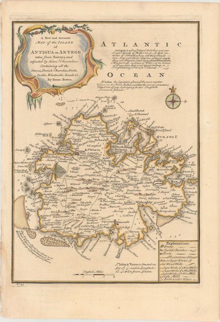
Subject: Antigua
Period: 1747 (circa)
Publication: A Complete System of Geography...
Color: Hand Color
Size:
9.1 x 12.7 inches
23.1 x 32.3 cm
Download High Resolution Image
(or just click on image to launch the Zoom viewer)
(or just click on image to launch the Zoom viewer)