Catalog Archive
Auction 160, Lot 351

"Mexique Antilles et Californie", Dufour/Duvotenay

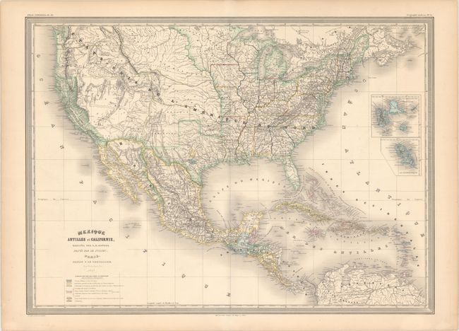
Subject: United States & Mexico, Texas

Period: 1858 (dated)

Publication: Atlas Universel

Color: Hand Color

Size:
29.6 x 21.6 inches
75.2 x 54.9 cm
Download High Resolution Image
(or just click on image to launch the Zoom viewer)

This map shows interesting boundaries in the western half of the United States. Although dated 1858, it shows the US-Mexico boundary prior to the Gadsden purchase in 1853. In addition, Texas is shown in an unusual configuration, with the panhandle depicted much too wide and shifted too far to the east, nearly as far as present-day Oklahoma City. German and French colonies in central Texas are also shaded and delineated. Castroville appears as the major town in the Col. Française, which extends west to the Frio River. The Col. Allemande shows the Adelsverein's area between the Colorado and Llano Rivers with Fredericksburg as its primary town. A number of large territories are shown in the Midwest and West, including Kanzas, Nouv. Mexique (which extends well into present-day Kansas), Minesota (which achieved statehood in 1858), Nebraska, Washington, Oregon, and Utah (which extends south to the border with Mexico). The eastern border of California, which had gained statehood in 1850, extends only to the Sierra Nevadas and is greatly emaciated to the south. Highlighted both in color and in the title, California was likely established as a focal point for this map due to European interest in the Gold Rush. The interior of the continent is well delineated noting mountains, rivers and many Native American tribes. The Caribbean islands are color-coded to identify the European colonial possessions of Denmark, Spain, France, Great Britain, the Netherlands and Sweden. Small inset maps depict the French possessions of Guadeloupe and Martinique.

References:

Condition: A

Original color with light toning along the edges of the sheet.

Estimate: $400 - $475

Unsold

Closed on 11/16/2016

Archived