Catalog Archive
Auction 160, Lot 338

"Spottsylvania Court House", U.S. War Department

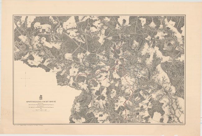
Subject: Central Virginia, Civil War

Period: 1867 (dated)

Publication: Military Maps…Armies of the Potomac & James

Color: Printed Color

Size:
31 x 19.6 inches
78.7 x 49.8 cm
Download High Resolution Image
(or just click on image to launch the Zoom viewer)

This scarce and extremely detailed battlefield map details the operational area that claimed over 30,000 casualties during the two week long battle. The map locates Anderson's Mill, Crutchfield, Anderson, and Todd's Tavern at the junction of the Brook and Catharpin roads. Drawn on a scale of three inches per mile, the remarkable detail locates roads, houses with occupants named, vegetation, drainage and relief by hachure. The opposing forces are differentiated by red and blue overprinting. The map was prepared by Bvt. Brig. Genl. N. Michler, Major of Engineers by Maj. J.E. Weyss, assisted by F. Theilkuhl, J. Strasser and G. Thompson.

References: Phillips (A) #3688-5; Stephenson (CW) Maps #658.2

Condition: B+

A nice impression on a clean sheet with an extraneous vertical crease and several edge tears confined to the right and bottom blank margins.

Estimate: $200 - $250

Sold for: $110

Closed on 11/16/2016

Archived