First State Atlas of Pennsylvania
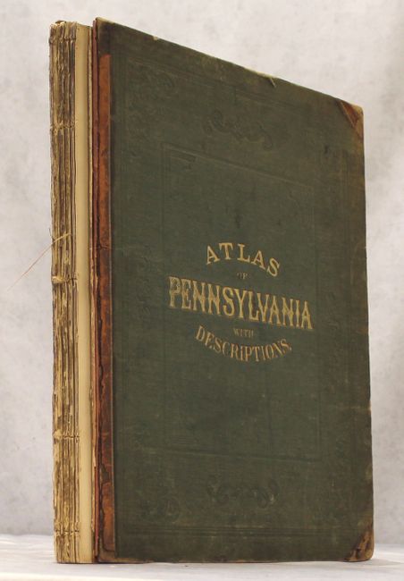
"New Topographical Atlas of the State of Pennsylvania with Descriptions Historical, Scientific, and Statistical...", Walling & Gray
Subject: Pennsylvania, Atlases
Period: 1872 (published)
Publication:
Color: Hand Color
Size:
13.9 x 17.6 inches
35.3 x 44.7 cm
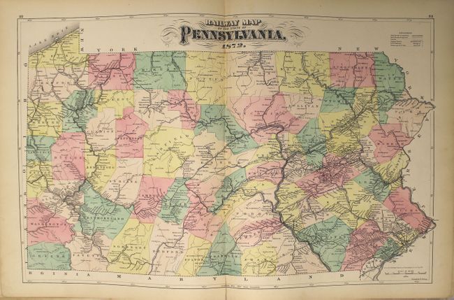
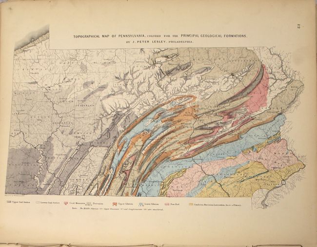
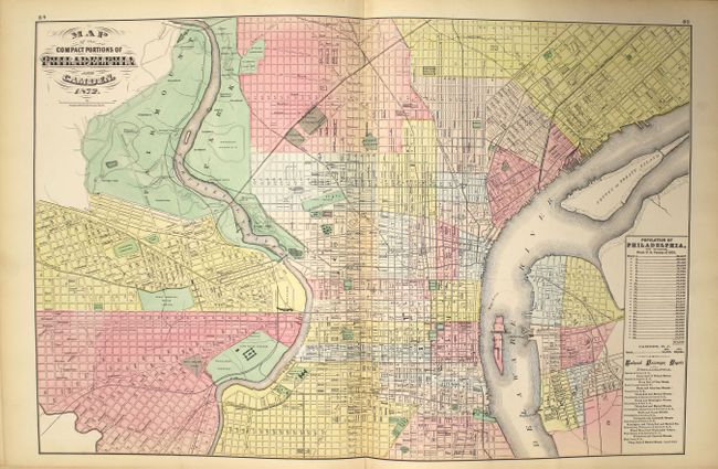
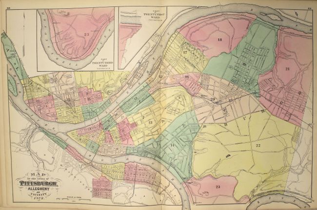
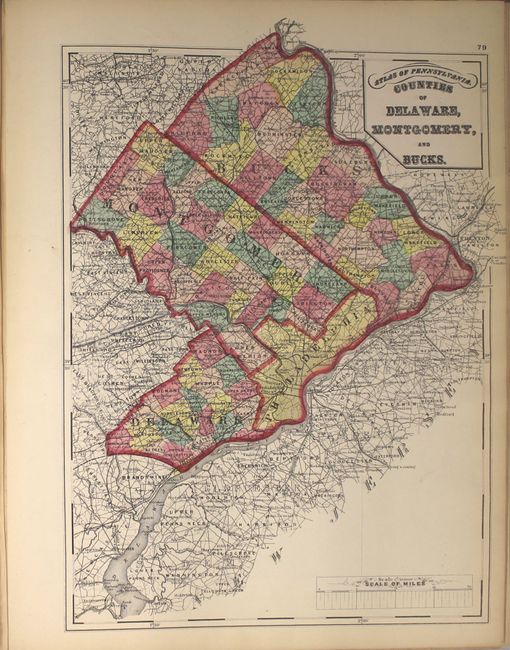
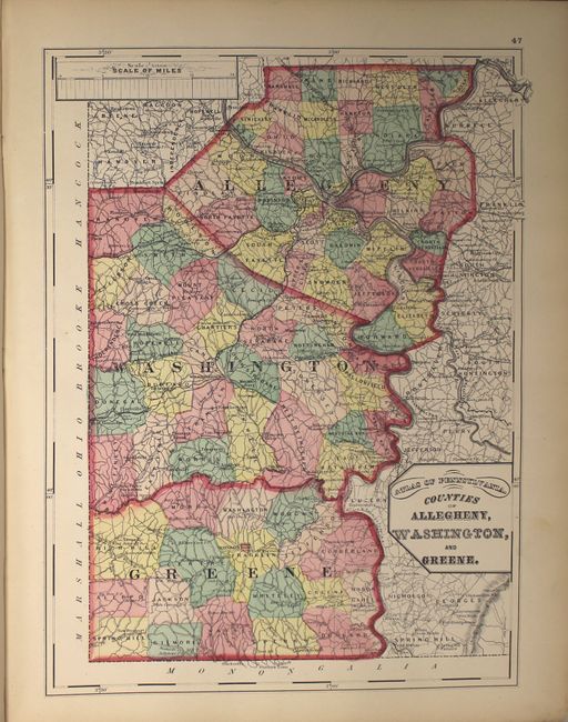
This atlas contains 7 double-page and 28 single page maps of Pennsylvania, with maps of each county and numerous city plans, including Philadelphia, Pittsburgh, Allentown, Scranton, Wilkesbarre (now Wilkes-Barre), Harrisburg, Williamsport, Reading and Erie. Several thematic maps of Pennsylvania depict the geological formations, climatology, flora, mineral deposits, and railroads throughout the state. Extensive text features information on botany, climatology, education, geology, topography, railroads, zoology, and the history of the state. The atlas also provides population data from the US censuses of 1860 and 1870 for each county, township and borough in Pennsylvania, as well as an extensive classified section of businesses in each county and the cities of Philadelphia and Pittsburgh.
The spine is missing, the binding has perished, and the text block is separated in several places, with several sheets remaining loose. The title page is missing. Original dark green embossed covers with gilt title and marbled endpapers.
References:
Condition: B+
Condition code is for the maps, which are generally clean and bright with occasional soiling and short centerfold separations. A couple of maps have moderate foxing caused by leaves that were pressed between the pages. The spine is missing, the binding has perished, and the boards are detached. The first and last few pages are moderately soiled, lightly toned, and chipped along the edges. The covers are moderately worn and stained.