"A Reference & Distance Map of the State of New York", Pierce, Justin
Subject: New York
Period: 1831 (dated)
Publication:
Color: Hand Color
Size:
19.3 x 18.7 inches
49 x 47.5 cm
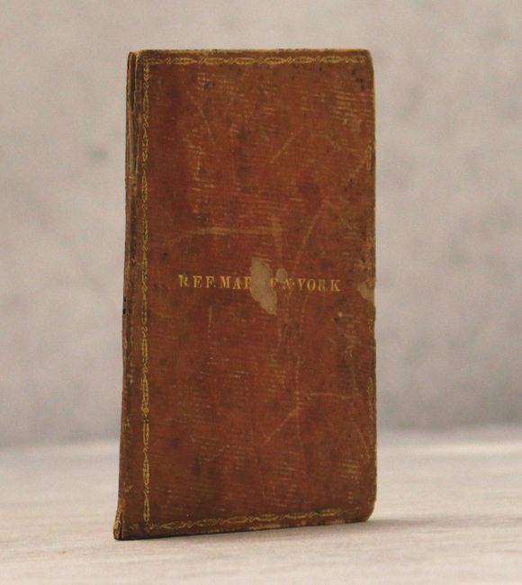
A scarce and very attractive example of the state with tremendous detail including private and municipal land ownership on the Canadian side of the border. The map's counties are delineated by alternating hand color in hues of pink, yellow, green, blue and brown. The route for the proposed New York and Erie Railroad runs along the southern boundary from Westfield, on the shore of Lake Erie, to Tappan, on the Hudson River. A pair of profiles show the elevations and distances along the Erie and Champlain Canals. A large index lists the cities and towns of the state and uses a number assignment to locate each on the map. Populations are based on the census of 1830. The distance table records mileage to numerous locations within the state from several cities. The full sheet with index measures 20.1 x 29.9". Folds into gilt-stamped leather covers measuring 3.5 x 5".
References: Phillips (Maps) p. 510.
Condition: B
Printed on two sheets of delicate banknote paper with numerous fold separations, a couple with a tiny bit of loss. Many of the separations have been repaired with archival tape on verso. Map also has some toning, foxing, and staining where the map is glued to the boards. Covers are scuffed with a bit of loss. Spine is partially split.