Catalog Archive
Auction 160, Lot 304
"Sketch of the Route Pursued by the Expedition to the Red River of the North in the Summer of 1849", Pope, John
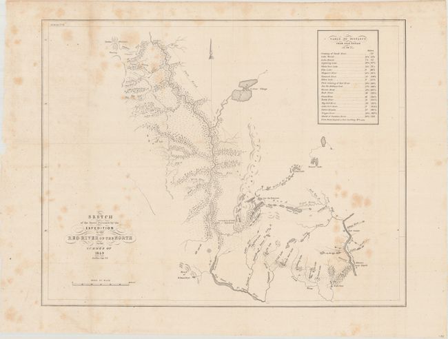
Subject: Minnesota
Period: 1850 (circa)
Publication: HR Doc. 51, 31st Congress
Color: Black & White
Size:
19.8 x 15.7 inches
50.3 x 39.9 cm
Download High Resolution Image
(or just click on image to launch the Zoom viewer)
(or just click on image to launch the Zoom viewer)