Catalog Archive
Auction 160, Lot 257

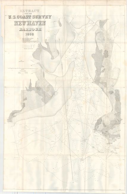
"Extract from the U.S. Coast Survey New Haven Harbour", U.S. Coast Survey

Subject: Connecticut

Period: 1838 (dated)

Publication: HR Doc. 202, 25th Congress, 3rd Session

Color: Black & White

Size:
24.5 x 37 inches
62.2 x 94 cm
Download High Resolution Image
(or just click on image to launch the Zoom viewer)

The Office of Coast Survey is the oldest U.S. scientific organization, dating from 1807 when Congress directed that a "survey of the coast" be carried out. By 1836, it was called the U.S. Coast Survey and in 1878, the name was changed to the U.S. Coast and Geodetic Survey. Today the Office of Coast Survey is a division of the National Oceanic and Atmospheric Administration NOAA.

The survey teams, composed of civilians as well as Army and Naval officers, charted the nation's waterways and produced a wide array of reports, survey charts, hydrographic studies of tides and currents, astronomical studies and observations, and coastal pilots. These charts are an important record of the changing nature of the nation's coastlines. In additional to coastal charts, the U.S. Coast and Geodetic Survey produced land sketches, Civil War battle maps, and the early aeronautical charts.

This finely engraved and detailed chart extends from the city of New Haven south to the light house, Adam's Fall, and Quixes Ledge. It illustrates soundings, anchorages, shoals, rocks, and buoys, and good inland detail including a street plan, agricultural lands, etc. This is one of the three earliest U. S. Coast Survey charts. It was prepared under the direction of Ferdinand Rudolph Hassler, the first Superintendent of the Coast Survey, who was appointed in 1811. Published to illustrate the report, "Letter from the Secretary of the Treasury, Transmitting A Map of New Haven and its harbor, in the State of Connecticut. February 18, 1839."

References: Claussen & Friis #303.

Condition: B

Issued folding with occasional light staining and a binding trim at left that has been trimmed to the neatline. The shadows in the image are caused by our scanner and do not appear on the physical map.

Estimate: $160 - $190

Sold for: $120

Closed on 11/16/2016

Archived