Catalog Archive
Auction 160, Lot 156

"Vereinigte Staaten von Nordamerika", Flemming, Carl

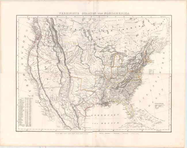
Subject: United States

Period: 1845 (circa)

Publication:

Color: Hand Color

Size:
27.3 x 20.4 inches
69.3 x 51.8 cm
Download High Resolution Image
(or just click on image to launch the Zoom viewer)

This large, detailed map of the United States extends to include part of Canada and Mexico, although information is focused on the United States. The map provided an excellent view of the American West with several large territories encompassing the entire west, shown to be mostly the domain of numerous Indian nations. Jowa extends from Missouri and Wisconsin stretching to the Missouri River. Tejas, Missouri Territory, and Oregon Territory encompass the remainder of the west. Although Texas is listed as a state, only a portion of its border is colored, leaving the western extent undefined. The U.S.-Mexico border predates the Treaty of Guadalupe Hidalgo, with the present-day Southwestern United States still Mexico's possession. The map depicts towns, missions, forts, railroads, and canals, and includes a list of the highest mountain peaks. A table lists the states and territories, with populations in 1840, number of counties, and size. Lithography by Handtke. Printed on four separate sheets, joined.

References:

Condition: B+

Original outline color on bright sheets with light scattered foxing mostly along the joint at bottom. There are some small holes in the left blank margin, well away from image.

Estimate: $275 - $350

Sold for: $325

Closed on 11/16/2016

Archived