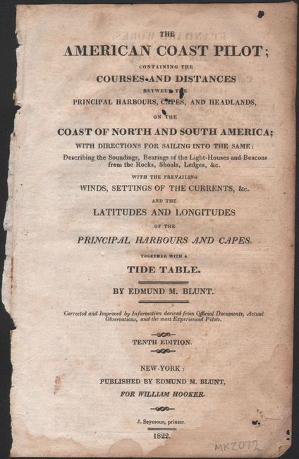
"[Disbound] The American Coast Pilot; Containing the Courses and Distances Between the Principal Harbours, Capes, and Headlands, on the Coast of North and South America...", Blunt, Edmund
Subject: North America
Period: 1822 (published)
Publication:
Color: Black & White
Size:
5.4 x 8.5 inches
13.7 x 21.6 cm
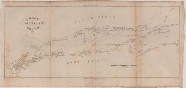
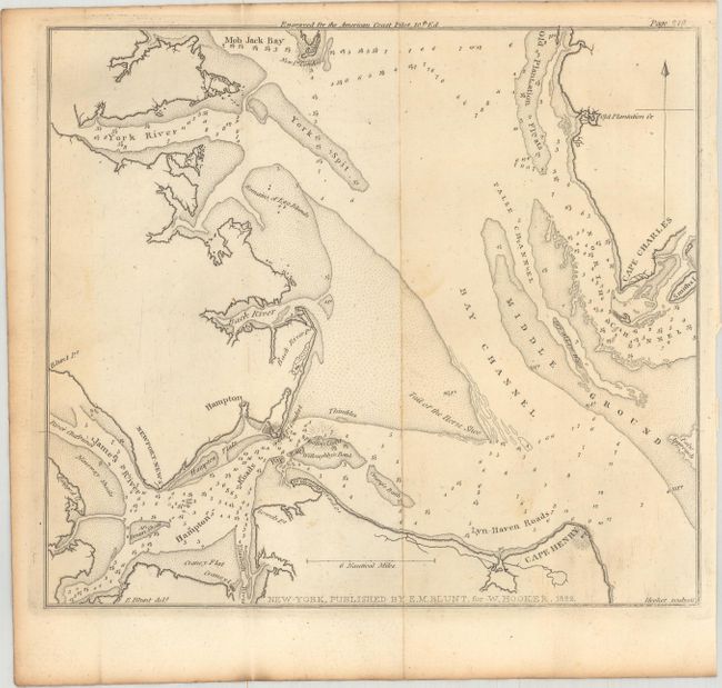
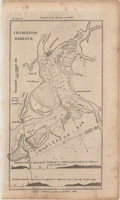
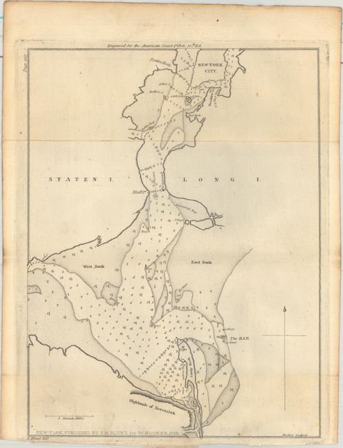
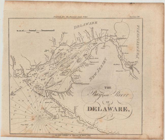
This set of sailing charts comes from the 10th edition of Blunt's Coast Pilot series and contains 16 of the 18 issued charts, including 9 that are double-page/folding. The missing charts are Newburyport and Little Egg Harbour (see images for full list of issued charts). Features many important harbors along the east coast: Boston Harbor, Long Island Sound, Hampton Roads, and Charleston to name a few. The charts include a wealth of information on winds, currents, tides as well as latitudes and longitudes. Includes the title page but no table of contents or text. The American Coast Pilot was published in 21 editions between 1796 and 1861, until it was replaced by federally-funded charts produced by the US Coast Survey.
References:
Condition: B
Overall, the charts range from good to very good with scattered foxing, light soiling, and occasional damp stains. The chart of Vera Cruz has moderate to heavy foxing, and the Savannah River chart has a 3" separation along the left fold.