Catalog Archive
Auction 159, Lot 777

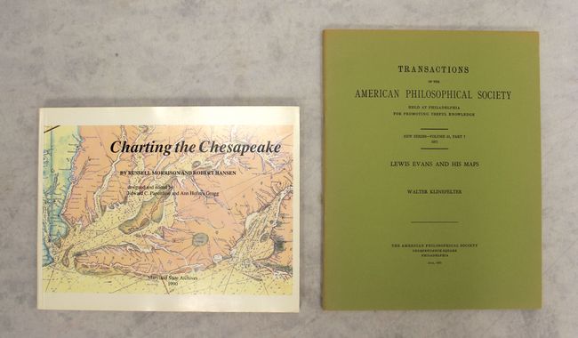
"[Lot of 2] Charting the Chesapeake [and] Transactions of the American Philosophical Society ... New Series- Volume 61, Part 7 1971 - Lewis Evans and His Maps",

Subject: References

Period: 1971-90 (published)

Publication:

Color:

Size:
See Description
Download High Resolution Image
(or just click on image to launch the Zoom viewer)

A. Charting the Chesapeake, by Russell Morrison and Robert Hansen, published 1990, printed color (11.0 x 8.5"). The history of charting the largest estuary in the United States and the land that borders it is told through narrative, charts, and illustrations. This reference reveals how knowledge of the Bay has increased since its first documented explorations in 1607. 167 pp, bibliography, 75 illustrations. It includes a list of U.S. Coast Survey charts of the Bay. Softcover. Condition: Contents clean and tight. Covers have a hint of soiling and very minor shelf wear.

B. Transactions of the American Philosophical Society ... New Series- Volume 61, Part 7 1971 - Lewis Evans and His Maps, by Walter Klinefelter, published 1971, black & white (9.3 x 11.8"). This monograph by Walter Klinefelter covers surveyor and geographer Lewis Evans, an important figure in 18th century American cartography. It includes a black & white illustration showing Evans's influential map A Map of Pensilvania, New-Jersey, New-York, and the Three Delaware Counties (1749). 65 pp. Paperback. Condition: Contents fine with sunning along the spine and edges of the covers.

References:

Condition: A

See description above.

Estimate: $80 - $100

Sold for: $60

Closed on 9/14/2016

Archived