Catalog Archive
Auction 159, Lot 723

NO RESERVE

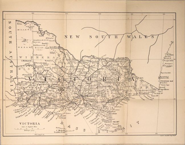
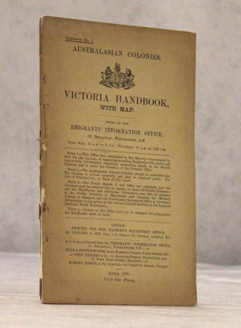
"Victoria [in report] Victoria Handbook...",

Subject: Victoria, Australia

Period: 1900 (published)

Publication:

Color: Black & White

Size:
12.9 x 9.2 inches
32.8 x 23.4 cm
Download High Resolution Image
(or just click on image to launch the Zoom viewer)

This small map shows the evolving transportation network in the state. Railroad lines branch out from Melbourne to Portland and Warrnambool in the west, Albury in the north, and Port Albert in the east. A submarine cable is shown connecting King Island to the mainland. Shows scores of place names and good topographical detail. The map folds into the 39 page "Victoria Handbook" issued by the Australian Emigrants' Information Office and contains relevant information on climate, natural resources, agriculture, laws, etc. 8vo.

References:

Condition: B+

The map has light toning along the folds and a few faint spots. Report text is very good.

Estimate: $170 - $200

Unsold

Closed on 9/14/2016

Archived