"[Lot of 13 - SDUK Maps of Africa]", SDUK Society for the Diffusion of Useful Knowledge
Subject: Africa
Period: 1831-40 (dated)
Publication:
Color: Hand Color
The beginning of the nineteenth century saw a period of rapid market growth and innovation in the map publishing world. Increased literacy and public interest in new frontiers and colonies overwhelmed the market because it was oriented toward the small, affluent market of the previous century. With the intent to fill this void, The Society for the Diffusion of Useful Knowledge (SDUK) was founded in 1828 in London, by Lord Brougham and a group of men dedicated to the education of the aspiring working class and the Utilitarian ideal of 'Knowledge is Power.' The society produced an array of education materials, but the series of maps was one of their most successful ventures. A number of engravers and printers were used to produce the maps, which eventually exceed 200 sheets, and continued to be published after the Society as a whole ceased to function.
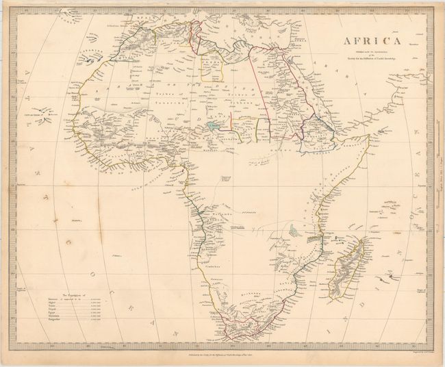
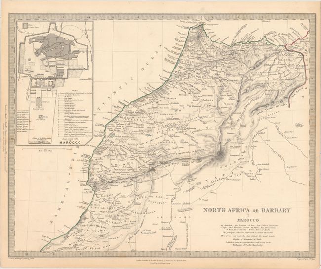
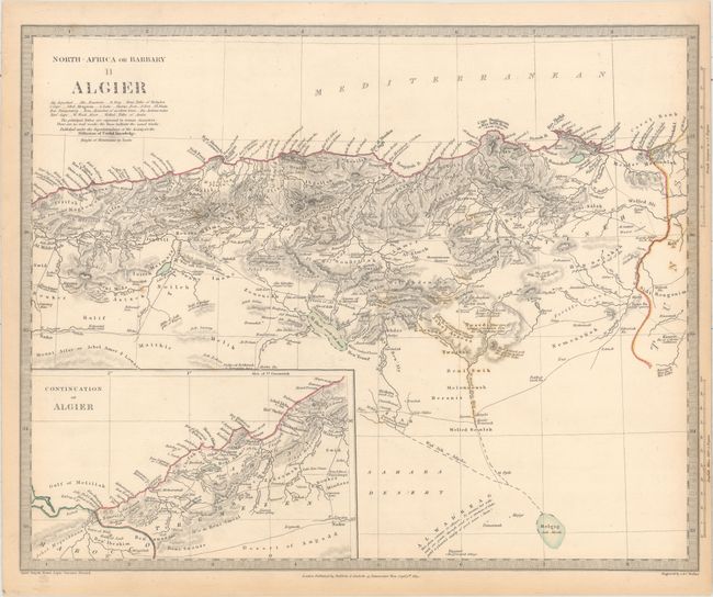
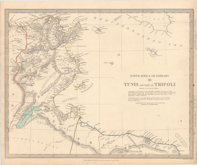
This handsome and complete set includes thirteen steel engraved maps of Africa, consisting of one map of the continent and 12 regional views of northern, western and southern Africa. Each is densely filled with interesting and useful information. Size varies slightly.
A. Africa, dated 1839 (15.6 x 12.6").
B. North Africa or Barbary I Marocco, dated 1836 (15.5 x 12.4").
C. North-Africa or Barbary II Algier, dated 1834 (15.5 x 12.4").
D. North Africa or Barbary III Tunis and Part of Tripoli, dated 1836 (15.6 x 12.4").
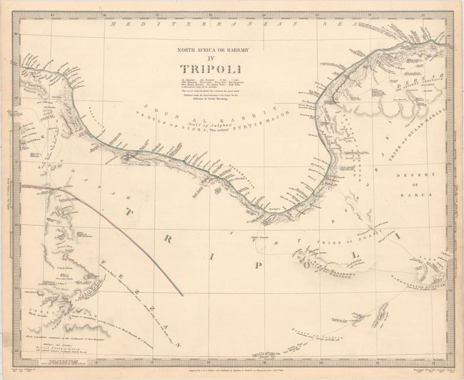
E. North Africa or Barbary IV Tripoli, dated 1837 (15.9 x 12.5").
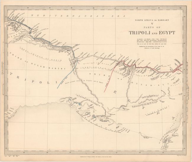
F. North Africa or Barbary V Parts of Tripoli and Egypt, dated 1837 (15.5 x 12.6").
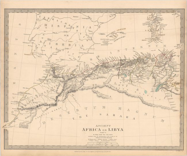
G. Ancient Africa or Libya Part I, dated 1840 (15.8 x 12.3").
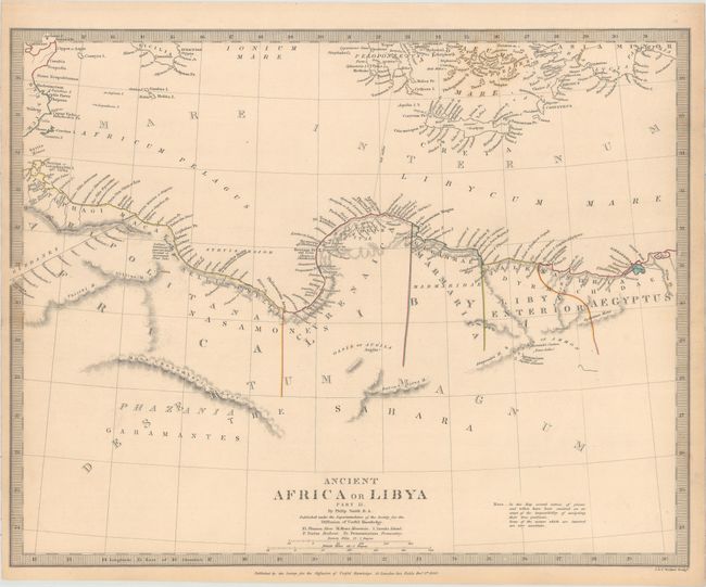
H. Ancient Africa or Libya Part II, dated 1840 (15.6 x 12.4").
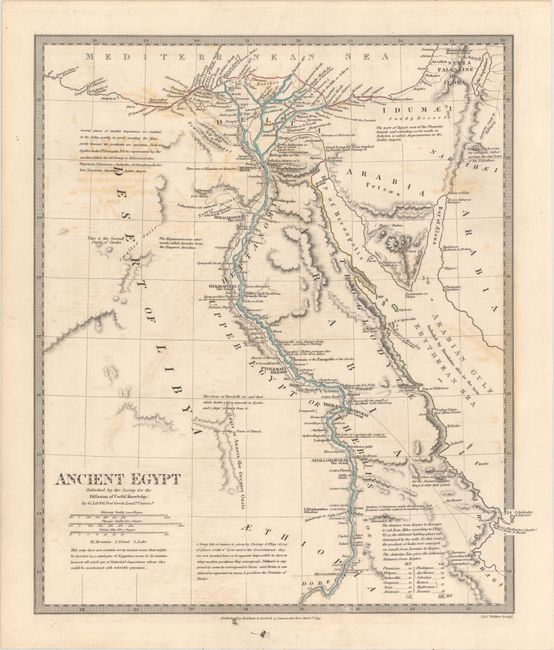
I. Ancient Egypt, dated 1831 (12.3 x 14.3").
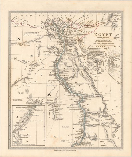
J. Egypt, dated 1831 (11.8 x 14.2").
K. West Africa I, dated 1839 (15.4 x 12.1").
L. West Africa II, dated 1839 (15.4 x 12.1").
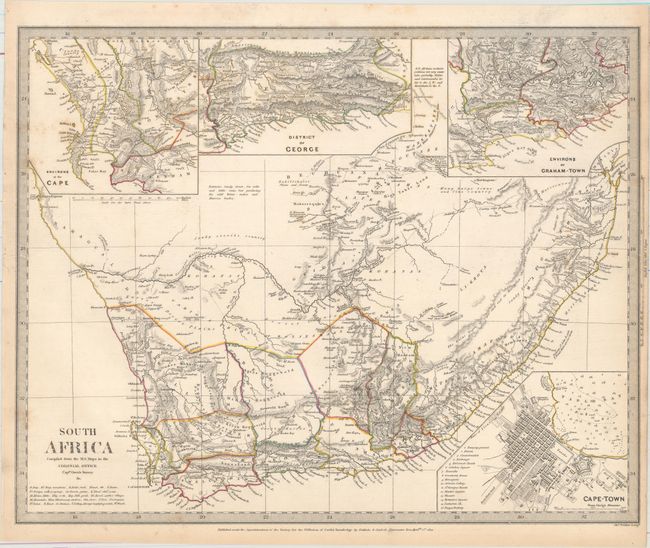
M. South Africa Compiled from the M.S. Maps in the Colonial Office Captn. Owen's Survey &c., dated 1834 (15.5 x 12.4").
References:
Condition: B+
Original outline color with light toning, occasional faint offsetting, and minor soiling.