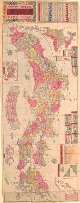
"[Map of Japan]", Anon.
Subject: Japan
Period: 1892 (circa)
Publication:
Color: Hand Color
Size:
18.1 x 48.9 inches
46 x 124.2 cm
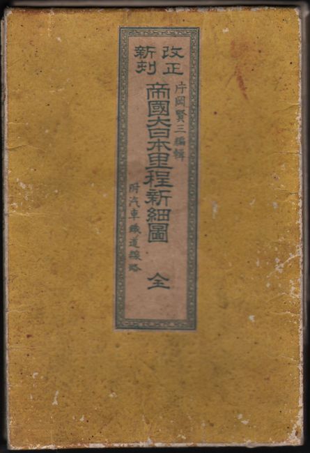
This very attractive, long woodblock map was produced during the Meiji period (1868 - 1912). The Meiji period is so named for the 45-year reign of Emperor Meiji and is the period associated with Japan's modernization and rise to world power status. The name literally means "Period of Enlightened Rule." It was designed for the use of travelers going from town to town by way of roads and railroads and displays cities, towns, stations, rivers, and ferry routes between islands. The map is surrounded by a series of insets including Hokkaido, Ryukyu Islands (including Okinawa), Korea, and a very interesting and rather crude double-hemisphere map of the world. Additional insets include a comparative chart of both rivers and mountains. The map is further embellished by a series of nine vignettes and a fleet of sixteen sail and steamships traveling around the four largest islands. Folds into stiff yellow paper wrappers with title label on front cover.
References:
Condition: B+
A colorful example with several small splits at fold intersections and a bit of wear along the folds. Issued folding.