Catalog Archive
Auction 159, Lot 611

Map Featuring Route of Alexander the Great

"Regiones Inter Euphraten et Indum", Smith, Charles

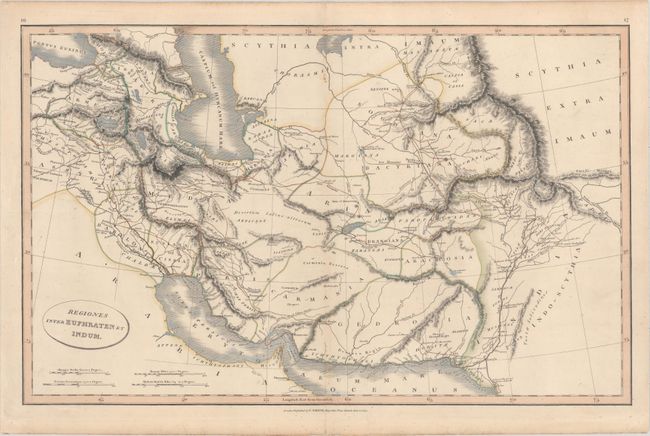
Subject: Persia - Iran

Period: 1809 (dated)

Publication: A New General Atlas

Color: Hand Color

Size:
21.9 x 13.8 inches
55.6 x 35.1 cm
Download High Resolution Image
(or just click on image to launch the Zoom viewer)

This map depicts the ancient region of Persia between the Euphrates and Indus Rivers. The map is also bounded by the Black and Caspian Seas and the Persian Gulf. The map is filled with ancient place names, with the route of Alexander the Great outlined in brown.

References:

Condition: A

Original color on paper with "J. Whatman Turkey Mill" watermark and light toning along edges of the sheet.

Estimate: $150 - $180

Sold for: $75

Closed on 9/14/2016

Archived