Catalog Archive
Auction 159, Lot 49

"Northern Hemisphere Projected on the Plane of the Horizon of London", Philip, George
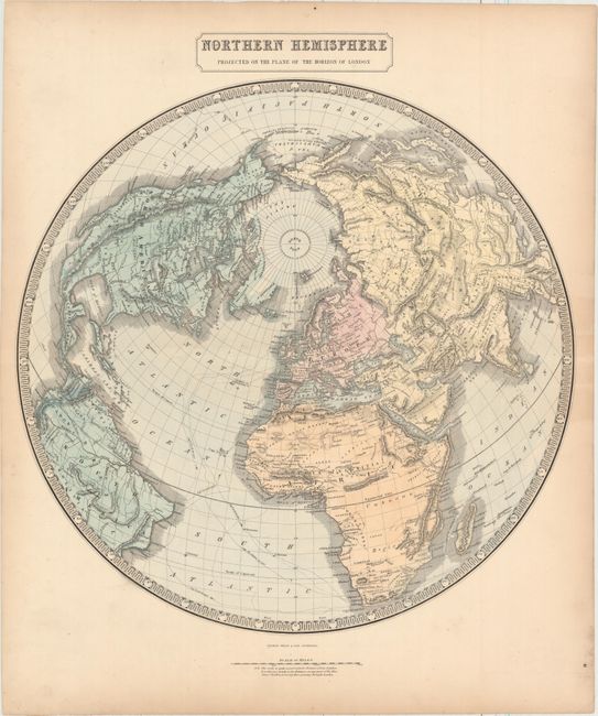
Subject: North Pole

Period: 1859 (circa)

Publication: The Philips New General Atlas

Color: Hand Color

Size:
20.1 x 19.9 inches
51.1 x 50.5 cm
Download High Resolution Image
(or just click on image to launch the Zoom viewer)

This large hemispheric map centered on the North Pole notes "the scale is quite correct only for distances from London." Greenland appears to be connected to North America, while the northern coastlines of both are left open-ended. The map extends south of the equator as far as the southern tip of Africa and shows the tracks of Cook's voyages.

References:

Condition: A

Full original color with light toning along the edges of the sheet.

Estimate: $140 - $170

Sold for: $50

Closed on 9/14/2016

Archived