Catalog Archive
Auction 159, Lot 486

"L'Alemagne Divisee par Cercles", Rizzi-Zannoni, Giovanni Antonio

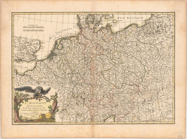
Subject: Central Europe, Germany

Period: 1762 (circa)

Publication: Atlas Geographique

Color: Hand Color

Size:
17.4 x 12.1 inches
44.2 x 30.7 cm
Download High Resolution Image
(or just click on image to launch the Zoom viewer)

This strongly engraved map of the region is centered on Germany, Czech Republic, and Slovakia and includes portions of France, Switzerland, and Poland. It extends to include northern Italy and Hungary. The title cartouche features a crown, a scepter, and the eagle of the German Empire.

References:

Condition: B+

A crisp impression with original coloring and light toning along centerfold, a few insignificant spots, and a short centerfold separation at bottom, far from map image. There is light scattered foxing confined to the sheet's edges.

Estimate: $160 - $190

Unsold

Closed on 9/14/2016

Archived