Catalog Archive
Auction 159, Lot 402
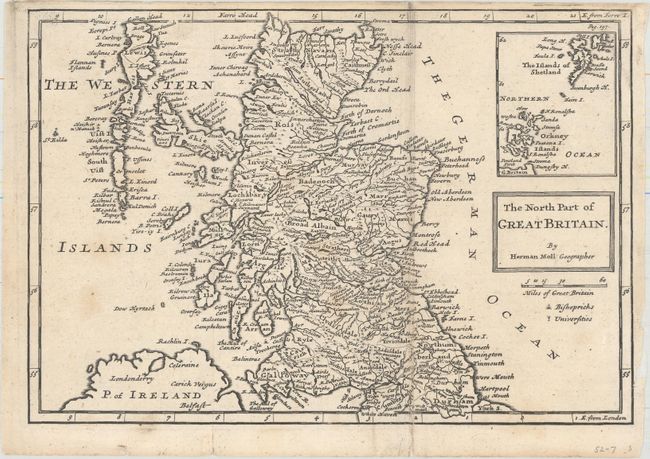
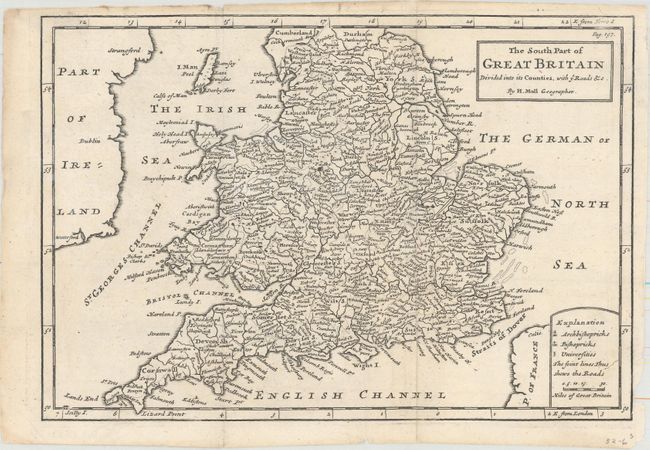
"[Lot of 2] The North Part of Great Britain [and] The South Part of Great Britain Divided into Its Counties, with ye Roads &c.", Moll, Herman
1 of 2
Subject: Britain
Period: 1730 (circa)
Publication:
Color: Black & White
Size:
10.1 x 7 inches
25.7 x 17.8 cm
Download High Resolution Image
(or just click on image to launch the Zoom viewer)
(or just click on image to launch the Zoom viewer)