Catalog Archive
Auction 159, Lot 349
"L'Isle St. Domingue ou Espagnole...", Fer, Nicolas de
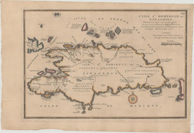
Subject: Hispaniola
Period: 1715 (dated)
Publication: Suite de l'Atlas Curieux
Color: Hand Color
Size:
13.1 x 8.9 inches
33.3 x 22.6 cm
Download High Resolution Image
(or just click on image to launch the Zoom viewer)
(or just click on image to launch the Zoom viewer)