Includes a Detailed, Large-Format Map of Long Island
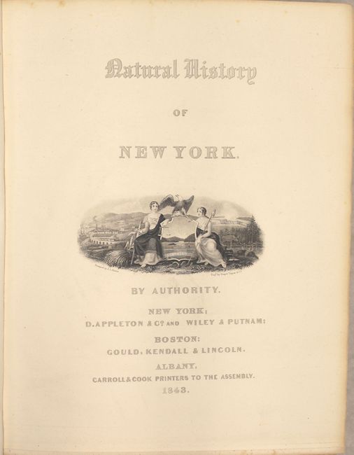
"Natural History of New York. Geology of New York. Part I", Mather, W. W.
Subject: New York
Period: 1843 (published)
Publication:
Color: Hand Color
Size:
9.5 x 12 inches
24.1 x 30.5 cm
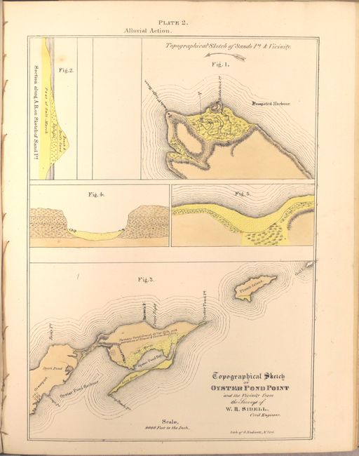
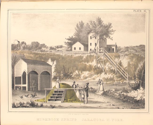
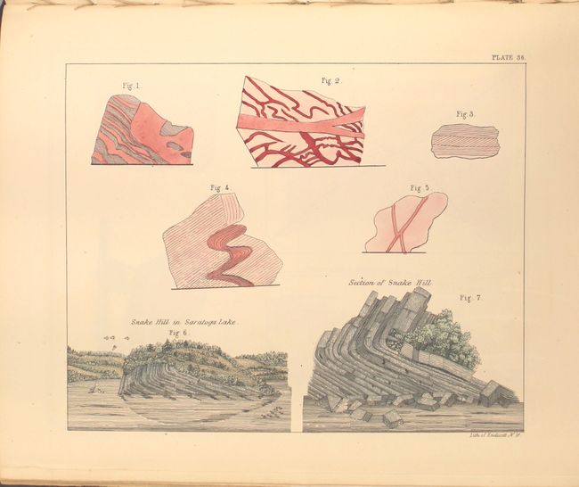
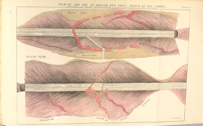
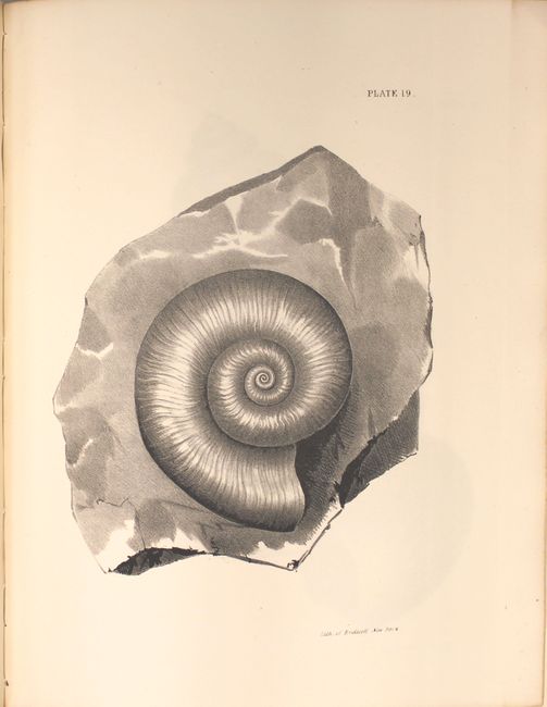
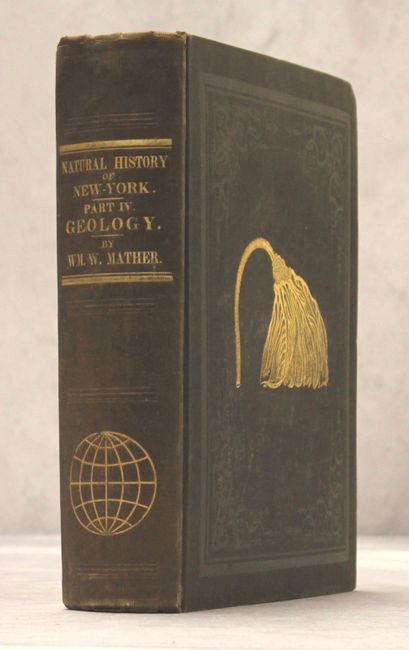
This large and informative book is the report of the survey for the First Geological District and contains 46 beautiful lithographic plates (39 hand colored) at the back of the report with 653 pp. of text and an appendix describing the plates. The 1st Geological District comprises twenty-one counties in southeastern New York, and extends from the north end of Washington county between Lakes Champlain and George, southwesterly to the Susquehanna River; so as to include the counties of Washington, Saratoga, Schenectady, Schoharie, Delaware, and all east and south of this line. The geology and economic deposits of counties encompassed by this area are all described in the report. The report devotes considerable space to a discussion of stratigraphy and glacial drift. Although Mather did not accept Agassiz's ice sheet glacial theory (he adopted an iceberg interpretation), his data on erratic boulders and other glacial features was so complete that later geologists were able use this information to reconstruct the backbone of Long Island as the terminal moraine of a great continental ice sheet. The report contains classic views of New York features (Saratoga Springs and Howe's Cave), many early drawings of fossils, and numerous plates showing geological and topographical features, cross-sections, profiles, and maps, most in color. The volume is complete with all plates and the large folding geological map is present. Quarto, hardbound in original brown cloth with fossil graphic on front cover.
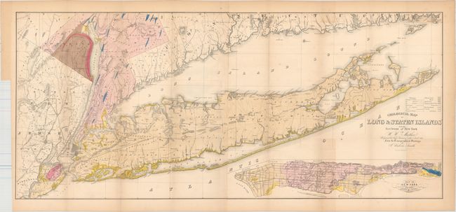
Accompanying the book (not bound in) is Mather's impressive Geological Map of Long & Staten Islands... (50 x 22.5") which is undoubtedly one of the best and most detailed depictions of Long Island. Although labeled a geological map, it provides a much more comprehensive view of the area than that label suggests with its hand coloring, detailing of roads, villages, communities, and other political information. It covers Long Island and the rest of southern New York state, as well as Westchester and Rockland counties and northeastern New Jersey. At bottom right is a large inset of "New York Island" detailing the major streets and topography. The colorful sheet is further embellished with fancy lettering in the title. A large map on two sheets joined, as issued. From the topographical surveys of J. Calvin Smith, lithographed by Endicott.
References:
Condition:
The map has a bit of uneven toning from where it folded into the report, faint offsetting, and a few minor spots. The text and plates are incredibly clean and bright with just a few having minor toning. Externally very good with only minor wear to back cover. Large Map (B+), Report (A).