Catalog Archive
Auction 159, Lot 274

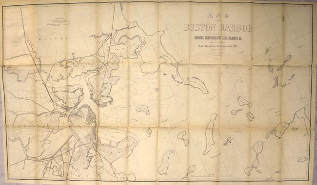
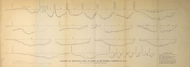
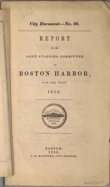
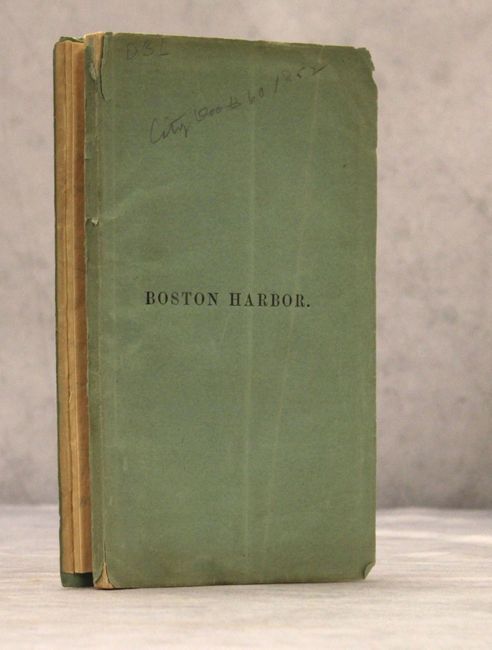
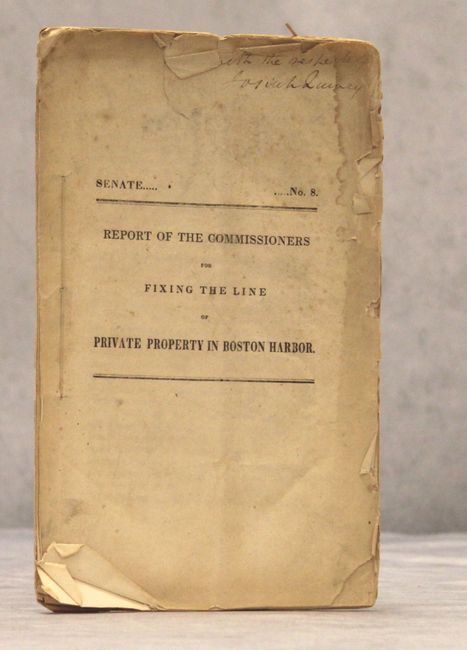
"[Lot of 2] Map of Boston Harbor Showing Commissioner's Lines, Wharves &c. [in report] Report of the Joint Standing Committee on Boston Harbor, for the Year 1852 [and] Fixing the Line of Private Property in Boston Harbor",

Subject: Boston, Massachusetts

Period: 1853 (published)

Publication:

Color: Black & White

Size:
41.7 x 23.4 inches
105.9 x 59.4 cm
Download High Resolution Image
(or just click on image to launch the Zoom viewer)

This attractive chart depicts Boston Harbor and the surrounding vicinity and was issued for the Harbor Committee of City Council. It shows wharves, shoals, islands, and railroads with the shaded portions of Boston, South Boston, East Boston and Charlestown reflecting the harbor infilling to accommodate growth. The map is bound into the front of the 54 pp. report with 79 pp. appendix and a plate of soundings. The lot also includes an earlier 23 pp. report "Fixing the Line of Private Property in Boston Harbor" (State Senate Doc #8, 1839).

References:

Condition: B+

The map, issued folding, is on a clean sheet with pleasant light toning and faint offsetting. Report text is mostly clean and tight.

Estimate: $200 - $250

Sold for: $150

Closed on 9/14/2016

Archived