Catalog Archive
Auction 159, Lot 173

"Carta della Nuova Inghilterra Nuova Iork, e Pensilvania", Bellin, Jacques Nicolas

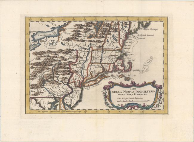
Subject: Colonial New England & Mid-Atlantic

Period: 1781 (circa)

Publication: Il Gazzettiere Americano

Color: Hand Color

Size:
11.7 x 8.1 inches
29.7 x 20.6 cm
Download High Resolution Image
(or just click on image to launch the Zoom viewer)

This French & Indian War period map details the English colonies from Pennsylvania through Penobscot Bay in Maine, with their early boundaries. It is fully engraved with topographical features and includes many early place names. The colonies are shown confined east of the Allegheny Mountains with the Nations Iroquoises, Indian villages, and several French forts located west of the mountains. It extends to show Lake Ontario and most of Lake Erie. A flourishing French rococo-style cartouche with distance scale decorates the map. This is an Italian edition of Bellin's map that was first published in 1757.

References: McCorkle #763.2; Sellers & Van Ee #722.

Condition: A

A dark impression, issued folding, with minor marginal soiling.

Estimate: $240 - $300

Unsold

Closed on 9/14/2016

Archived