Catalog Archive
Auction 159, Lot 154

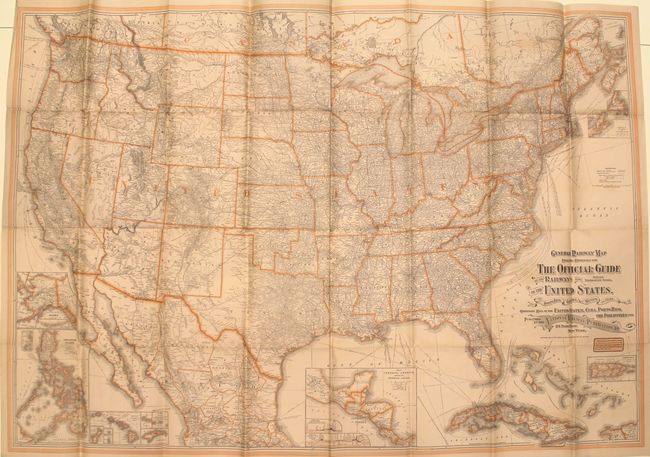
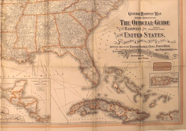
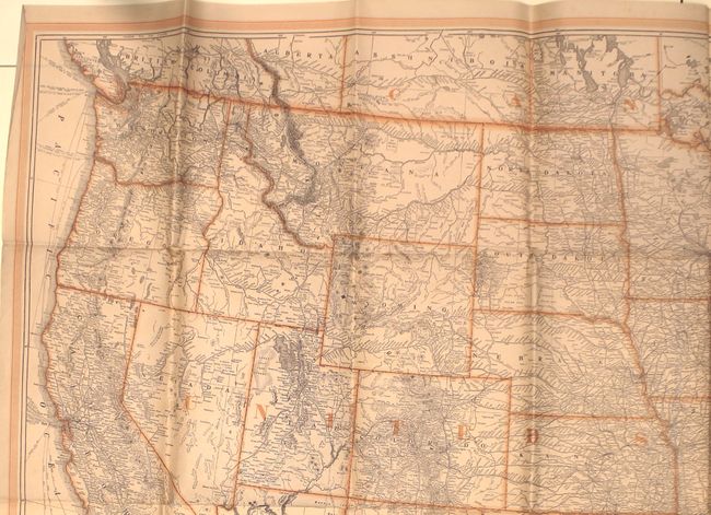
"General Railway Map Engraved Expressly for the Official Guide of the Railways and Steam Navigation Lines, of the United States, Porto Rico, Canada, Mexico, and Cuba...", Matthews-Northrup Co

Subject: United States

Period: 1903 (dated)

Publication:

Color: Printed Color

Size:
52.6 x 36.2 inches
133.6 x 91.9 cm
Download High Resolution Image
(or just click on image to launch the Zoom viewer)

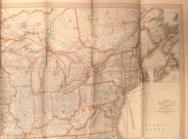
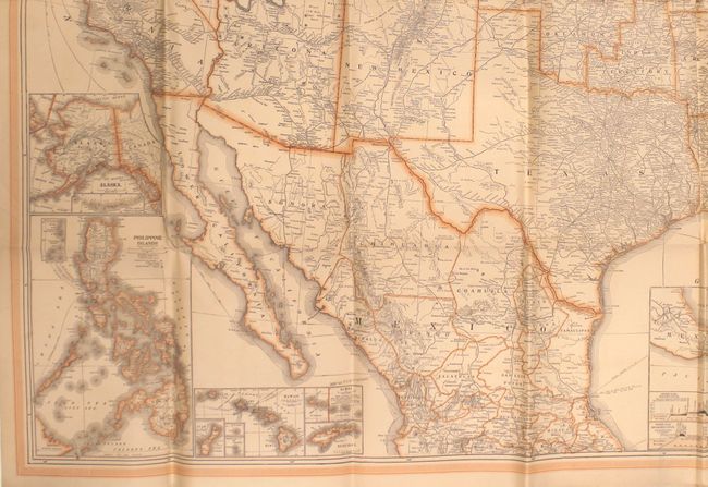
This very large map of the United States shows the transportation network at the turn of the century. It identifies both completed railroads and those under construction with numerous steamship routes depicted in the Atlantic. Cartographically, the eastern half of present-day Oklahoma is still shown as Indian Territory, while the western borders have been finalized. Includes inset maps of Alaska, the Philippines, Hawaii, Central America, Puerto Rico, and Nova Scotia.

References:

Condition: B+

Issued folding with light toning, faint color offsetting, and a number of short splits at fold intersections.

Estimate: $140 - $170

Sold for: $100

Closed on 9/14/2016

Archived