Catalog Archive
Auction 158, Lot 440

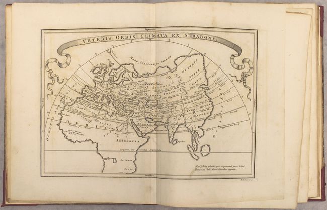
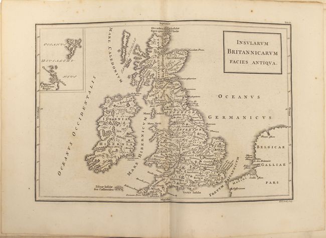
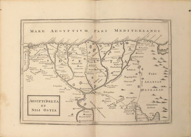
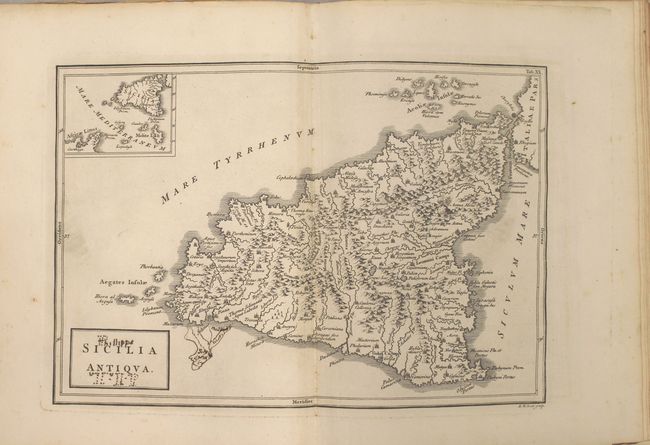
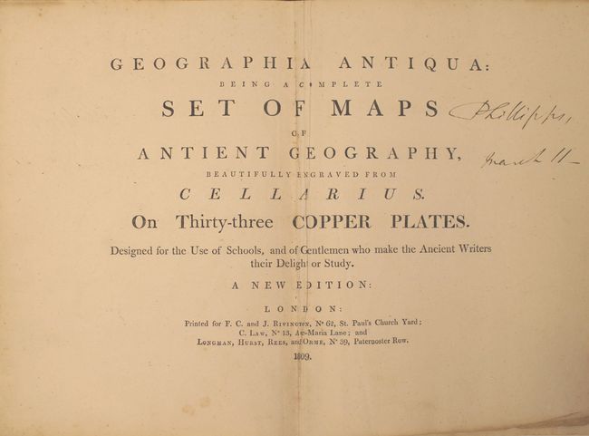
"Geographia Antiqua: Being a Complete Set of Maps of Antient Geography, Beautifully Engraved from Cellarius...", Cellarius, Christophorus

Subject: Atlases

Period: 1809 (published)

Publication:

Color: Black & White

Size:
8.6 x 10.8 inches
21.8 x 27.4 cm
Download High Resolution Image
(or just click on image to launch the Zoom viewer)

This atlas focuses on the three divisions of the Ancient World: Europe, Asia and Africa. Included are 32 (of 33) maps: ancient world, 18 (of 19) pertaining to Europe, 8 pertaining to Asia, and 5 pertaining to Africa. The map Hellas, sive Graecia Propria is missing. The attractive, boldly engraved maps are in Latin, and use two different typestyles, Italic and Roman, to distinguish between ancient and modern place names. They show excellent detail with topography, towns, churches, mosques, and more. The map, Sicilia Antiqua shows an erupting Mt. Aetna. Insularum Britannicarum Facies Antiqua includes an inset of Thule, and a handsome map of the Nile Delta, Aegypti Delta et Nili Ostia, locates Alexandria, Memphis and the pyramids. The first 19 maps were engraved by Richard William Seale, and the remaining by William Henry Toms. These maps were originally published in Christoph Cellarius' Geographia Antiqua, first published in 1686. His atlas proved quite popular, and was republished in many editions. Published by F. C. and J. Rivington, C. Law, and Longman, Hurst, Rees & Orme. Quarto. Rebound in quarter red leather with tips over original marbled paper boards.

References:

Condition: B+

The maps are very good with light offsetting and occasional foxing. Several maps have extraneous creases. The map of Sicily has old manuscript ink notations in the map and the title cartouche, and the map of Turkey has a long, narrow ink stain. The boards are heavily worn and the spine had light wear.

Estimate: $450 - $550

Sold for: $325

Closed on 6/22/2016

Archived