Catalog Archive
Auction 158, Lot 417

"A Chart of the Coast of Cormandel and the Great Bay of Bengal", Cutler, Nathaniel

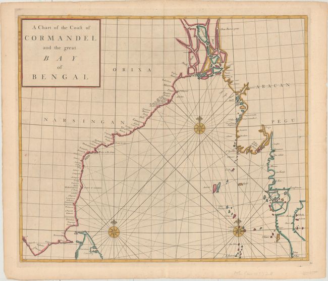
Subject: Southern Asia

Period: 1728 (published)

Publication: Atlas Maritimus & Commercialis…

Color: Hand Color

Size:
22.4 x 18.9 inches
56.9 x 48 cm
Download High Resolution Image
(or just click on image to launch the Zoom viewer)

This fine chart details the Bay of Bengal including the eastern coastline of India, Bangladesh and Burma. The map is based upon a new globular projection by Dr. Edmond Halley. It is likely the work of John Harris, John Senex and Henry Wilson, whose names appear on the world map of this atlas, and who introduced the new projection used for the map. Decorated with three compass roses and rhumb lines.

References: Shirley (BL Atlases) M.HALL-1a; Phillips (A) #3298.

Condition: B+

There is faint scattered foxing, a light horizontal crease from where the map was misfolded, and short centerfold separations confined to the top and bottom blank margins.

Estimate: $350 - $425

Unsold

Closed on 6/22/2016

Archived