Catalog Archive
Auction 158, Lot 411

"Le Indie Orientali e il Loro Arcipelago", Zatta, Antonio

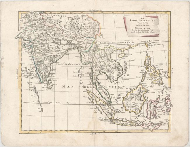
Subject: Southeast Asia

Period: 1784 (dated)

Publication: Atlante Novissimo

Color: Hand Color

Size:
16.6 x 12.9 inches
42.2 x 32.8 cm
Download High Resolution Image
(or just click on image to launch the Zoom viewer)

European trade with Asia and the East Indies was rapidly increasing during the mid-1700s, and this map reflects the importance of the region. This beautifully engraved map of the area extends from India to the Philippines including the islands of the East Indies, the Maldives and the southern end of Taiwan. At the tip of the Malaysian Peninsula is a group of islands including Sin Capura. Political subdivisions and place names are shown. The title cartouche appears on a paper scroll. Lettering by G. Pitteri and likely engraved by G. Zuliani, who engraved most of the maps for Zatta's Atlante Novissimo. This map appeared in the fourth volume, published by Zatta and his sons.

References: Shirley (BL Atlases) T.ZAT-1a, Vol. 4 #5.

Condition: B+

Original outline color on watermarked paper with a light damp stain along the centerfold at bottom. A centerfold separation confined to the bottom blank margin has been closed on verso with archival material.

Estimate: $250 - $325

Sold for: $130

Closed on 6/22/2016

Archived