Catalog Archive
Auction 158, Lot 404

"China", Philip, George
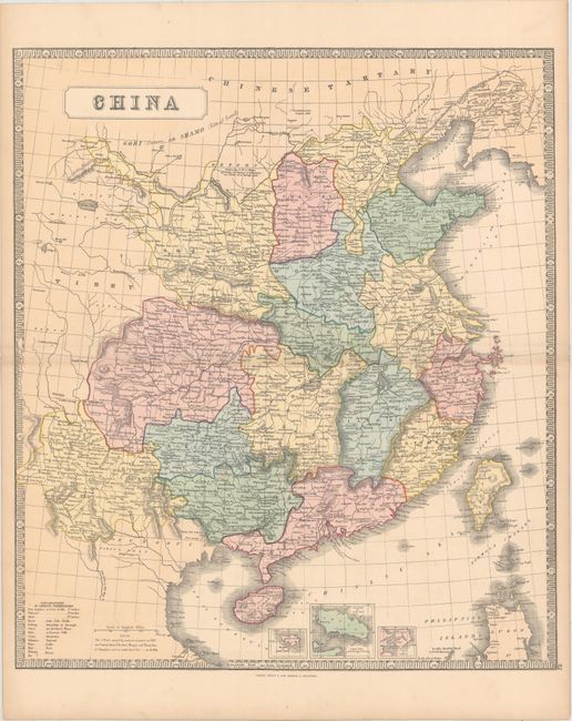
Subject: China

Period: 1860 (circa)

Publication: The Philips New General Atlas

Color: Hand Color

Size:
20.2 x 23.1 inches
51.3 x 58.7 cm
Download High Resolution Image
(or just click on image to launch the Zoom viewer)

This attractive map of China is delineated by province and extends to include portions of Mongolia and Tibet. Depicts port cities, towns, rivers, lakes and topography. The Great Wall of China is shown in the north with a note stating "A Barrier of Wooden Pikes Dividing the Province of Quantong or Leatong from Tartary." Includes small insets of Hong Kong, Xiamen, and Zhoushan Island. Decorated by a keyboard-style border. Published in Liverpool & London (Philip moved his business to 32 Fleet Street, London in 1856).

References:

Condition: A

Bright color with a few faint spots in the image.

Estimate: $170 - $200

Unsold

Closed on 6/22/2016

Archived