Catalog Archive
Auction 158, Lot 300

"Stanford's Map of the Environs of Paris Shewing the Fortifications", Stanford, Edward

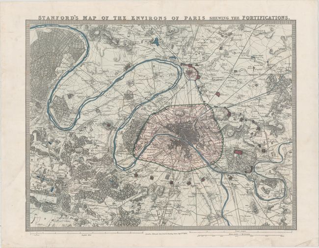
Subject: Paris, France

Period: 1870 (dated)

Publication:

Color: Hand Color

Size:
23 x 17.8 inches
58.4 x 45.2 cm
Download High Resolution Image
(or just click on image to launch the Zoom viewer)

Large-scale plan of Paris and environs, including Versailles, St. Germain, Montmorency, Annay, Neuilly and Choisy. The heart of the city is shown with its fortifications and the outlying forts are shown in red. Parks, forests, rivers, canals, and railroads are all well depicted. Keyboard style border.

References:

Condition: A

A nice example with full original color and professional repairs to several short centerfold separations. A chip in bottom blank margin has also been professionally repaired.

Estimate: $220 - $250

Sold for: $160

Closed on 6/22/2016

Archived