Catalog Archive
Auction 158, Lot 282

"Ducatus Lutzenburgi Nova et Accurata Tabula cum Adjacentibus Provinciis et Omnibus Suis Regionibus Delineatio", Danckerts, Justus

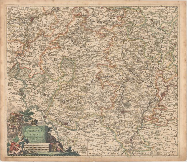
Subject: Luxembourg & Southeastern Belgium

Period: 1700 (circa)

Publication:

Color: Hand Color

Size:
22.8 x 19.9 inches
57.9 x 50.5 cm
Download High Resolution Image
(or just click on image to launch the Zoom viewer)

This striking map of Luxembourg and its surroundings extends east to Trier, Germany and west to Namur, Belgium. There is great detail of mountains, forests, villages, fortified cities and roads. The map is embellished with an allegorical title cartouche featuring two female figures - one with a lute and one with a bow and quiver - and several putti.

References:

Condition: B+

Full original color on watermarked paper with light soiling and a 2" tear near Diekirch that has been repaired with old paper on verso. There is a short, unrepaired centerfold separation at top, and a separation and two adjacent tears at bottom that have also been repaired on verso with old paper.

Estimate: $350 - $425

Unsold

Closed on 6/22/2016

Archived