Catalog Archive
Auction 158, Lot 232
"Warwici Comitatus a Cornauiis olim Inhabitatus", Saxton/Kip
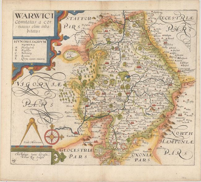
Subject: Central England
Period: 1637 (circa)
Publication: Camden's Britannia
Color: Hand Color
Size:
13.6 x 11.4 inches
34.5 x 29 cm
Download High Resolution Image
(or just click on image to launch the Zoom viewer)
(or just click on image to launch the Zoom viewer)